Category Archives: Uncategorized

Segment 5 – Regina, Saskatchewan to Kenora, Ontario

A cacophony of alarms interrupts the early morning silence.  Soon to follow, there’s the usual chorus of flatulence.  Finally, a symphony of zippers fills the air.  By now, most of us are arising to meet the day’s challenge.

This segment caused some anxiety within the group since it’s the longest segment of the summer between rest days.  Our anxiety was well warranted on the first day out of Regina heading for Crooked Lake.  Our cook group of four left late since we had been on kitchen duty that morning.  The day was sunny and warm.  The easterly winds were against us for the first 117 kilometres making for an arduous start to the day.  Rest breaks in Indian Head and Wolseley, where we turned north off the highway, were welcomed stops, which broke up the morning’s tough pedal.   Not until our last fifteen kilometres into camp did we have headwinds again, testing our patience and resolve.  Fatigue had already set in.  Supper was ready.  A swim in the lake adjacent to our campsite was tempting.  But, showers were chosen and quick, and so was sleep.

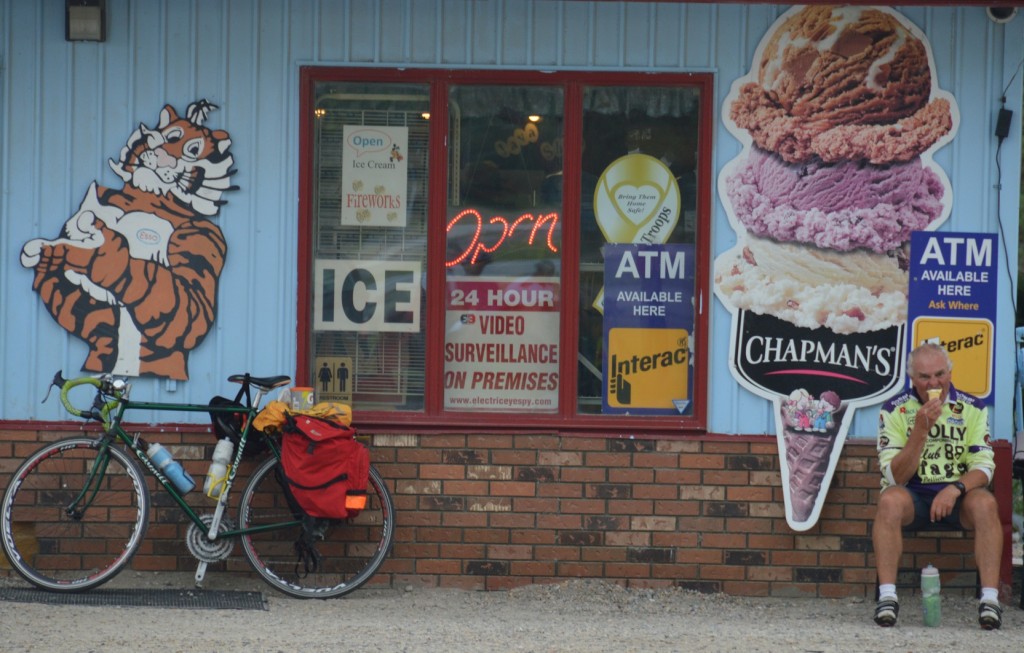
Bob's favorite pastime

Bob’s favorite pastime

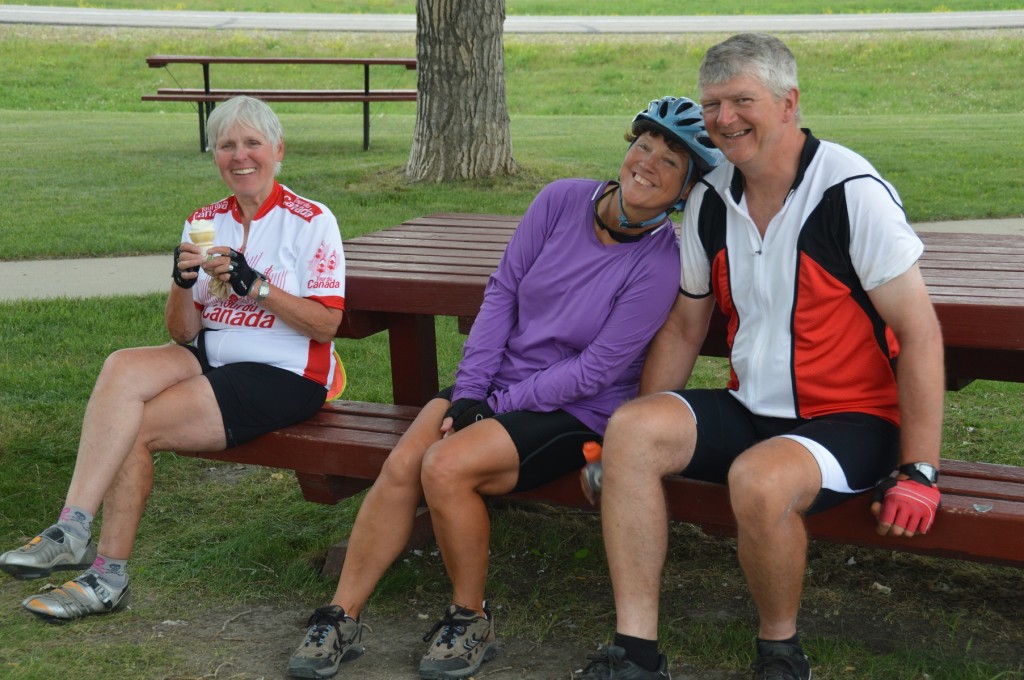
Joyce and Mike hamming it up to Irene's delight

Joyce and Mike hamming it up to Irene’s delight

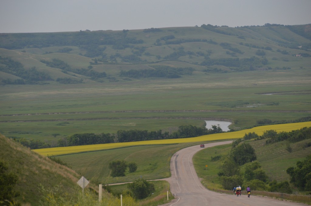
entering the Qu'Appelle Valley on route to Crooked Lake

entering the Qu’Appelle Valley on route to Crooked Lake

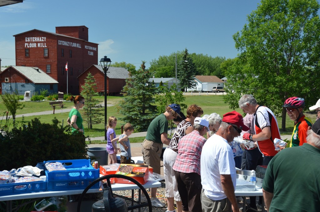
We were slow to arise the next morning, Monday, 12 July.  The initial part of the ride was pleasant through the Qu’Appelle Valley.  But, a helluva hill met us to exit the valley.  Esterhazy had a fundraiser to upkeep their grain elevator.  Hamburgers and pop purchased to help the cause never tasted so good.  Mike from our cook crew was experiencing tire flat problems leaving Esterhazy, so a couple of us stopped to help.  I sent Joyce along with others.  She was not to be seen again that day until I arrived in camp.  It’s the second time, when I’ve crossed a provincial line that Joyce hasn’t been with me.  The tent was set up, so Bob and I patronized the Binscarthe Camp and Pool campground store for a large ice cream cone.  Dessert first that day seemed to be a good idea.

view west along Qu'Apelle Valley shortly after leaving camp

view west along Qu’Apelle Valley shortly after leaving camp

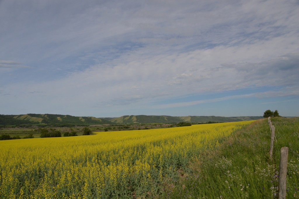
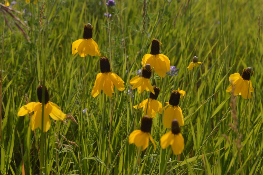
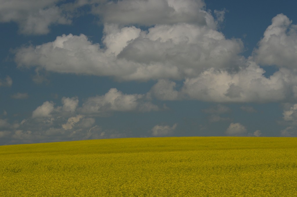
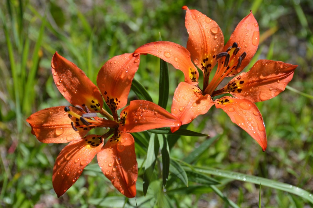
wild flowers which we have enjoyed most of the tour

wild flowers which we have enjoyed most of the tour

the lineup for hamburgers in Esterhazy

the lineup for hamburgers in Esterhazy

Eric and Joyce in line for hamburgers

Eric and Joyce in line for hamburgers

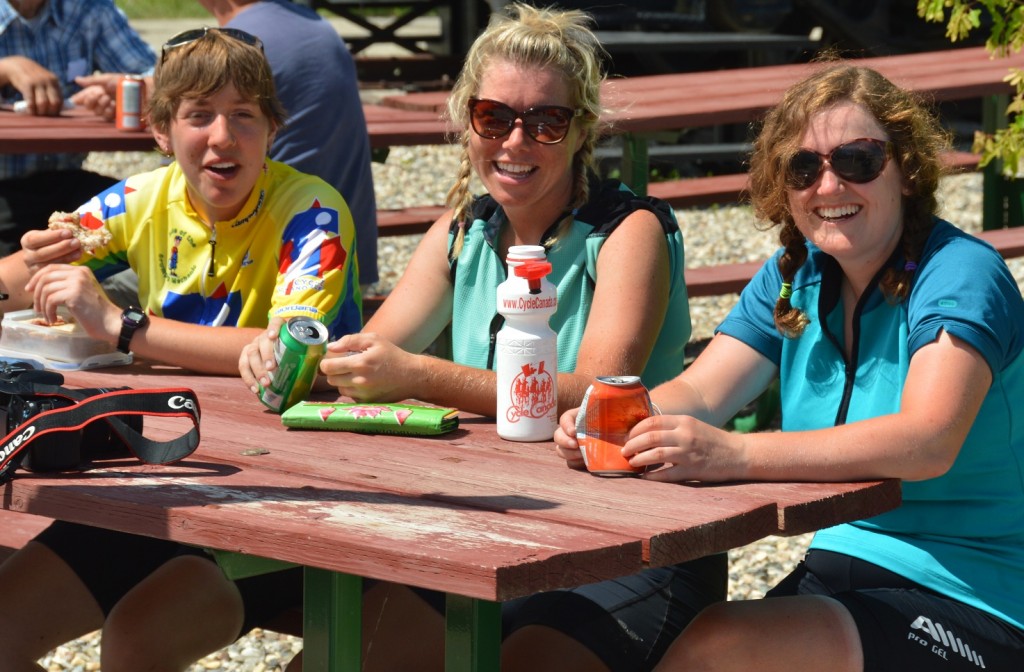
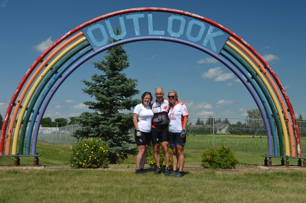
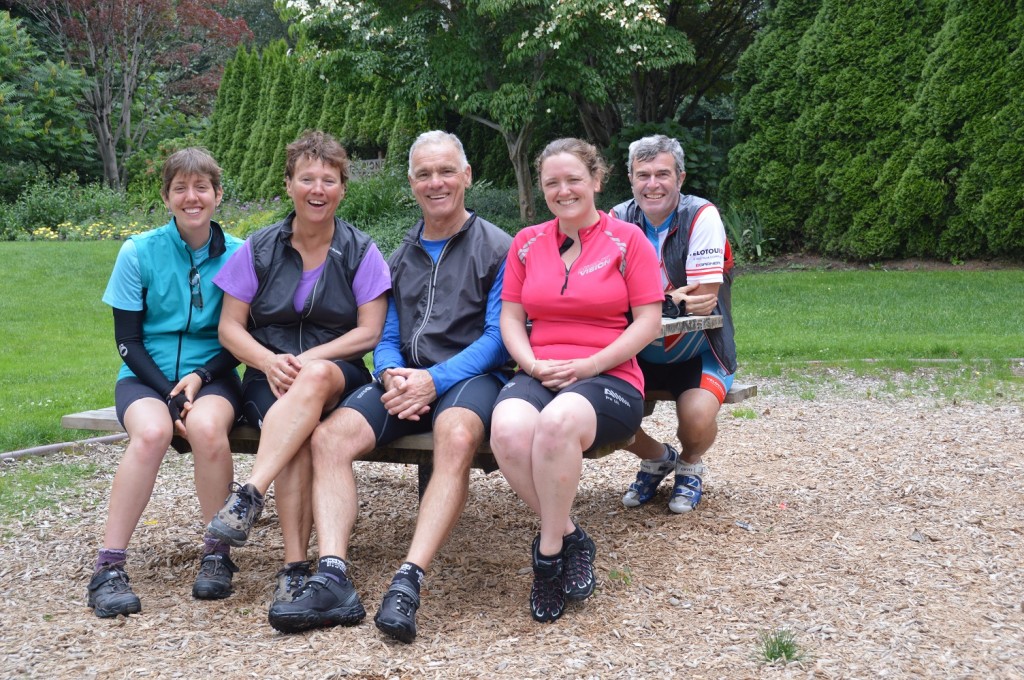
three amigos; Myra, Becky, and Louise

three amigos; Myra, Becky, and Louise

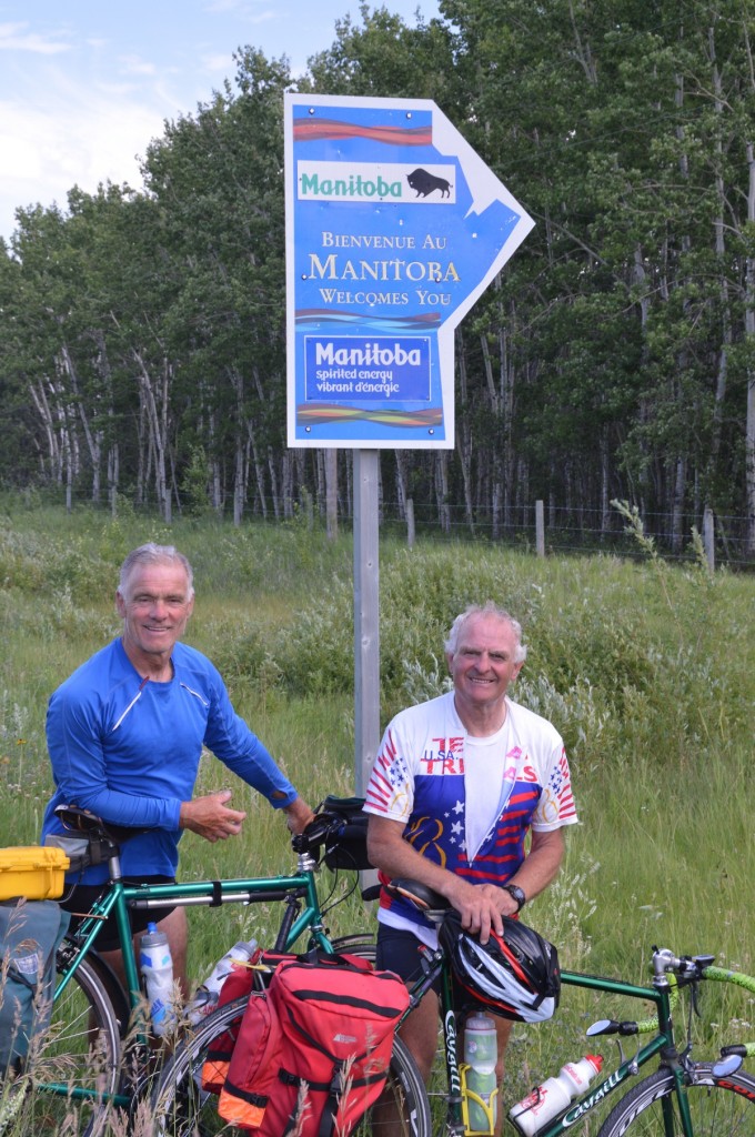
Dan and Bob about to enter Manitoba

Dan and Bob about to enter Manitoba

Our day to Minnedosa was typical for our tour.  The many changes of direction alter how the wind affects us, but this day, the winds were mostly against us.  Near the end of the cycling day, a group of us set up a pace line with minimal effect since most people are skittish or unknowledgeable with them.  In camp, rain threatened.  It wasn’t until we’d showered, eaten, and cleaned camp for the night that the skies opened.  By then, we were nicely tucked in.

Our exit from camp on Sunday, 14 July was in good time at 7:38 am.  We were quick to pull into the Tim Hortons in Neepewa for an enjoyable, mid-morning coffee 31k into our ride.  Neepawa is known as the hometown of Margaret Lawrence, a well known author, who was inspired to write a book, the Stone Angel.  The Stone Angel can be seen in the town cemetery, a side trip we neglected to take.  The Gladstone bakery was targeted as our next stop.  We were deeply disappointed that it was closed being a Sunday.  A “greasy spoon” restaurant was a distant second choice.  Our questionable luck to that point was reasonably improved with a trip to the Dairy Queen in Portage la Prairie, our stop for the night.

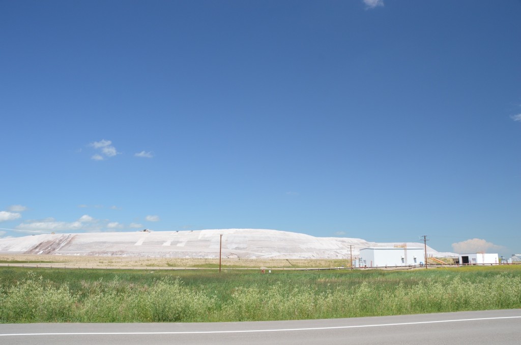
potash;  note the road grader on top of the pile

potash; note the road grader on top of the pile

As I recall, our day into Beasejour in 2009 was a long, tough day, probably our flattest.  Nothing would change my mind this time around either.  A stop at a Stonewall, Manitoba restaurant, La Petit Cafe, mid-day for a BLT and coffee, broke up the day nicely.  The detour into Stonewall also got us off, temporarily, the narrow, high-traffic roads (many trucks), which we travelled during the day.  We passed through Lockport, known for the big damn on the Red River and “Duff’s Ditch”, constructed at huge expense as a means of flood control for Winnipeg.  The 158k day got us to camp late at 6:20 pm.  Some of our kitchen duties were generously started by those who had arrived earlier.  Great teamwork!

soon to be scenery of the past as we ride east

soon to be scenery of the past as we ride east

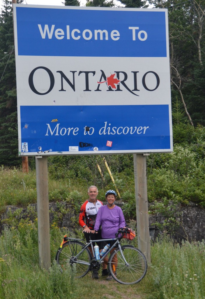
Tuesday, 16 July would mark our entry into Ontario.  The day started questionablely.  A heavy thundershower with high winds about four prematurely awakened us.  Much was wet.  Not us!  Reluctantly, we arose by 5:35 am.  Kitchen duties performed, we headed for Whitemouth, our anticipated first stop, only to be disappointed.  The elderly owner had closed the bakery last fall, permanently.   Distraught, we trudged on.  The Cambrian Shield terrain was noticeably replacing the somewhat boring, prairie landscape.  Rennie, Manitoba was a timely pause where we enjoyed a meal of soup, apple pie, and coffee with Bob and Irene to fuel us to West Hawk Lake and an ice cream cone.  At 4:00 pm., a group of us crossed into Ontario, Canada’s largest province, where we’d spend twenty-four of our seventy-one tour days.  Of course, photographs were in order.  Rain greeted our entry, a sign of weather to come during our passage through my home province.  It wasn’t until 7:00 pm. that Joyce and I booked into the Comfort Inn for our rest day, where we enjoyed a couple nights of good, dry sleep and complimentary breakfasts.

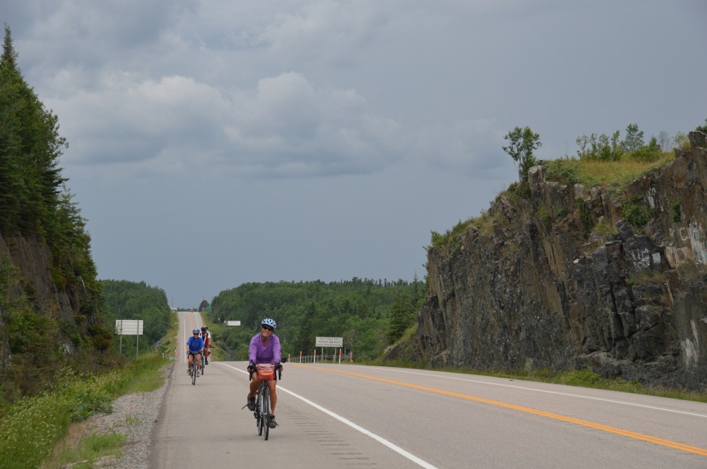
damp weather about to greet us into Ontrario; Joyce in foreground

damp weather about to greet us into Ontrario; Joyce in foreground

Dan & Joyce

Dan & Joyce

Segment 5  – Regina to Kenora, Ontario

Location  /    Date Time camp to camp Time on bike Max. speed Avg. speed Distance Trip to date
Crooked Lake, Sk  /    Thursday, 11July 11:30 8:33 55.4 19.6 167.6 2056.0
Binscarth, Sk  /Friday, 12 July 8:11 5:29 53.8 23.3 127.9 2183.9
Minnedosa, Sk.  /  Saturday,   13July 9:20 7:17 52.2 18.5 134.4 2318.3
Portage La Prairie, Sk  /    Sunday, 14July 8:54 6:12 33.2 21.9 135.7 2454.0
Beausejour, Sk  /    Monday, 15July 10:50 8:05 29.0 19.6 158.6 2612.6
Kenora, Ontario  /    Tuesday, 16July 10:38 7:57 53.0 22.6 179.7 2792.3


Segment 4 – Drumheller, Alberta to Regina, Saskatchewan

Beep!  Beep!  Beep!  Beep!  5:30 am.  Damn alarm!  I roll over and do my worst impression of a push up, then stumble out of the tent to be blinded by the early morning sunlight.  It’s Friday, 05 July and time to get up to start our next segment, Drumheller to Regina, five days away.

DSC_0517

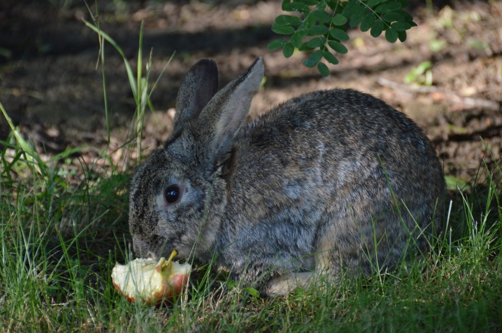
pictured above:  tame rabbits at Drumheller campground got too bld when one snatched an apple of mine

The ride out of camp was on new pavement with a tailwind.  Promising, but that didn’t last since we turned left in Drumheller onto Highway #9 to take the direct route instead of the “scenic route”.  This led us uphill out of the valley into a headwind.  Twenty-two kilometres later, Hwy. #9 went right providing us a more favourable crosswind.  Other than a quick stop in Hanna for a rest and food, we’d maintain this direction until we reached our destination, Youngstown.

DSC_0521DSC_0523

DSC_0522

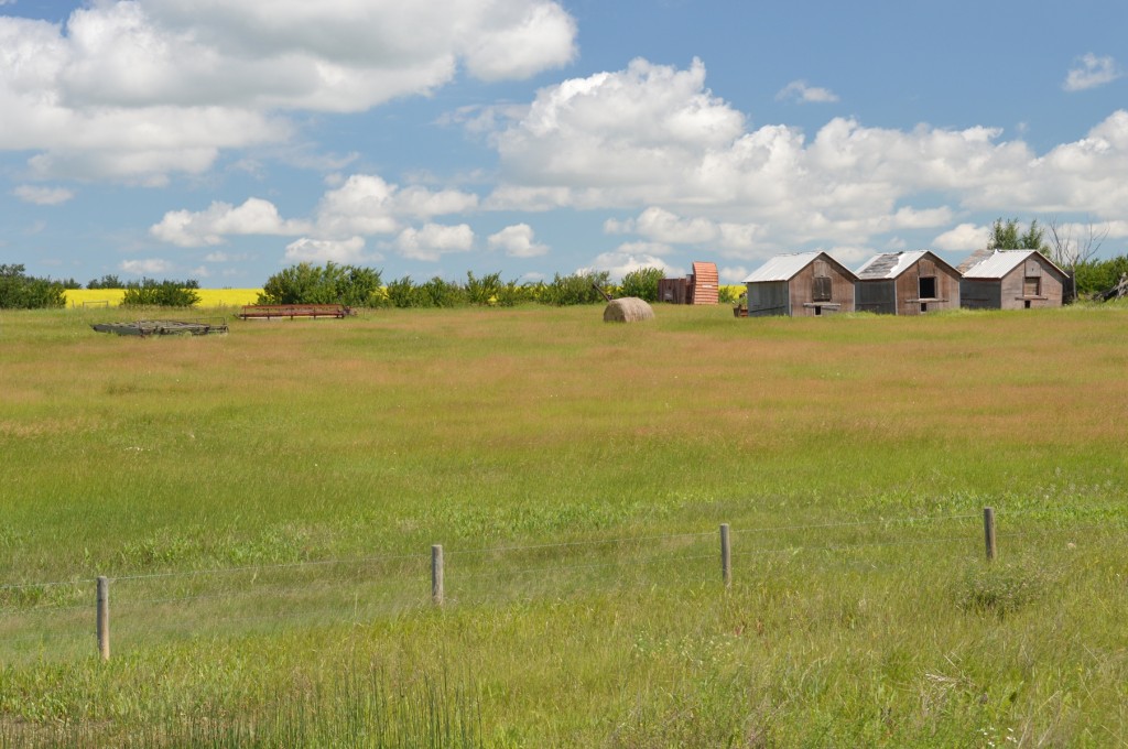
pictured above:  scenes of the prairie; upper left – long way home from the road, land and sky;  lower  -  some of several abandoned buildings on the prairies

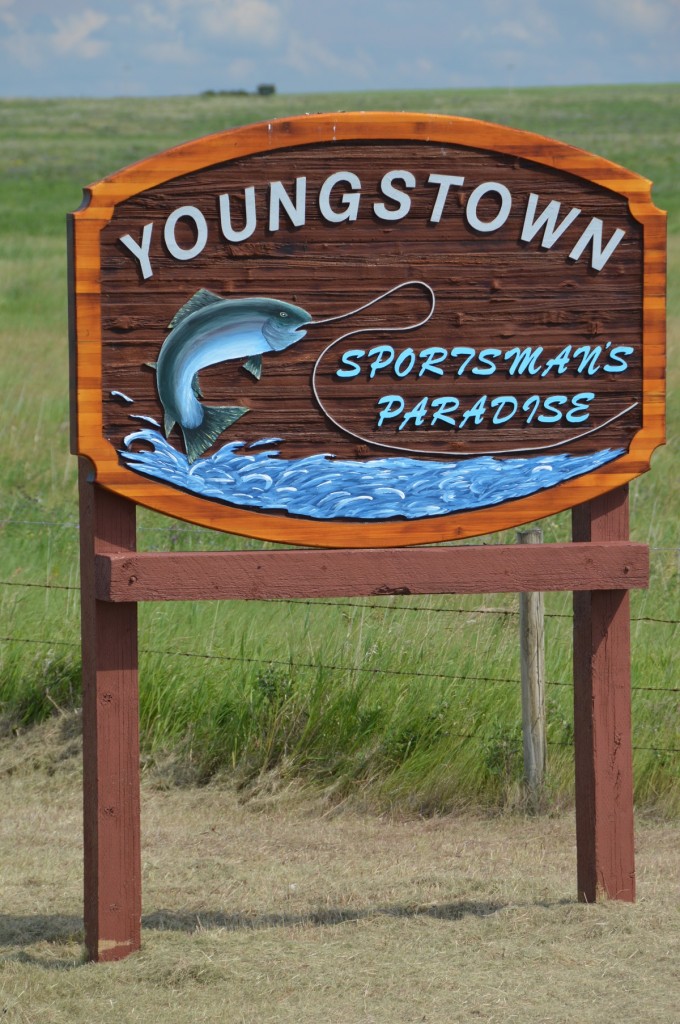
Youngstown is special with TdCers.  For the past twenty-five years, the community has arranged a potluck supper for the riders.  We were grateful for the good food and hospitality. There was a Huntsville connection in the community for Joyce and me.  Bob and Debbie ALLEN were Huntsville residents / business people, until they made a monumental decision to move west.  They haven’t regretted the move, have a successful cattle business, and love “small town” living.  We know them better now than when they lived in Huntsville.

DSC_0529


DSC_0531DSC_0535DSC_0532

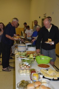
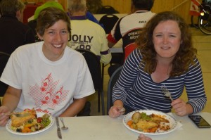
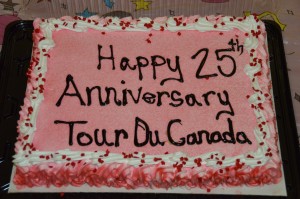
pictured above:  lining up for copious amounts fo grub; Myra and Louise ready to dig in; residents made a cake to celebrate Tour du Canada’s 25th

Much like yesterday, the ride to Kindersley was a long road “without a bend in it”, rather disinteresting.  Shortly into the day’s ride, Joyce continued to experience pain in her left shoulder from the day before.  Rather than exacerbate the problem, we flagged down the tour truck so Joyce could hitch a ride and nurse her shoulder back to health.

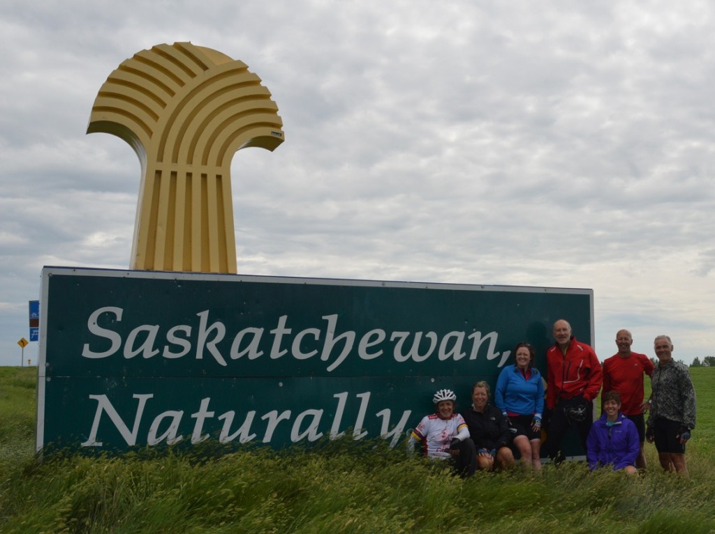
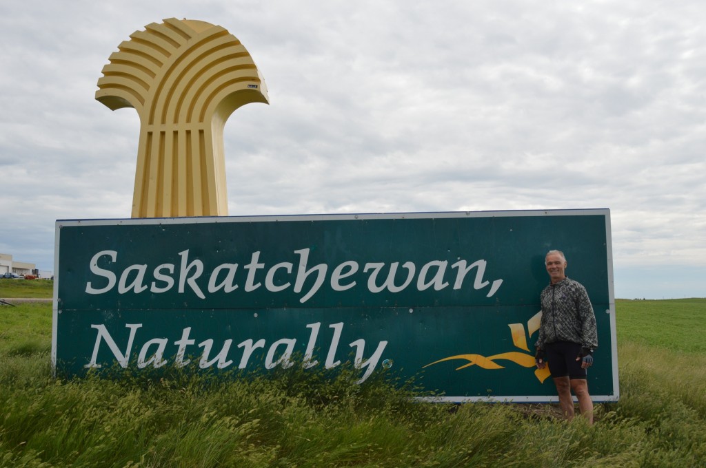
The excitement for the day was crossing the Alberta / Saskatchewan border at 11:45 am.  Ten riders congregated there, so we took advantage of the photo opportunity.  After a quick lunch, it wouldn’t be until 4:36 pm. before we arrived in camp.  The Kindersley DQ was a welcome and refreshing stop for Bill and me, which delayed our arrival.

DSC_0539

DSC_0543

pictured above:  Dan at right of six co-tourers;  Dan alone

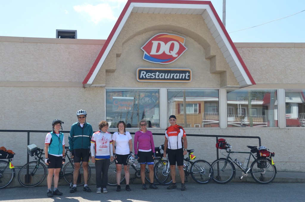
With two long, disinteresting days behind us, we headed for Outlook on our third day into this segment.  In ’09, we had a beautiful, sunny day with the “wind gods” in our favour.  Today, it was much the same.  Sun and tailwinds lifted our spirits immensely.  In no time, several riders were at the Rosetown DQ to open the store and further augment our spirits, and energy level.  We made our way quickly from there to the Outlook municipal campground for this night of 06 July.

DSC_0552

pictured above:  Myra, Fred, Bill, Louise, Becky, and Greg with DQ smiles

DSC_0558

pictured above:  Dan with Louise and Becky

DSC_0564

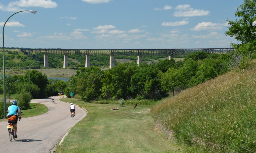
pictured above:  riders entering campground in Outlook;  bridge, 3000′ longest in Canada, in background now part of rail trail

Kenaston, our first stop of the day from Outlook, brags that they are the “blizzard capital” of Canada.  We enjoyed a break there including a group photo.  Leaving Kenaston, we left the two-lane country roads of the past week in favour of four lanes, which would eventually lead us to Regina.  Our concern about poor shoulders was quickly forgotten since Saskatchewan has maintained them well in the past few years.  Short stops in the small, really small, towns of Davidson and Craik delayed our arrival at Craik Regional Campground for the night.

DSC_0567

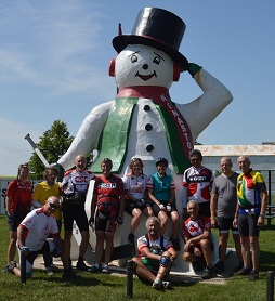
pictured above:  group posing in Kenaston, “Blizzard Capital of Canada”

Everybody was anxious to leave on the day’s ride 08 July.  We were headed for Regina and a day of rest.  The entire trip was along the four-lane highway, the only blip of the day being the Lumsden Hill.  There was no cause for concern since our days in the Rockies had prepared our legs.

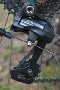
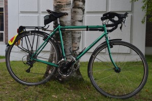
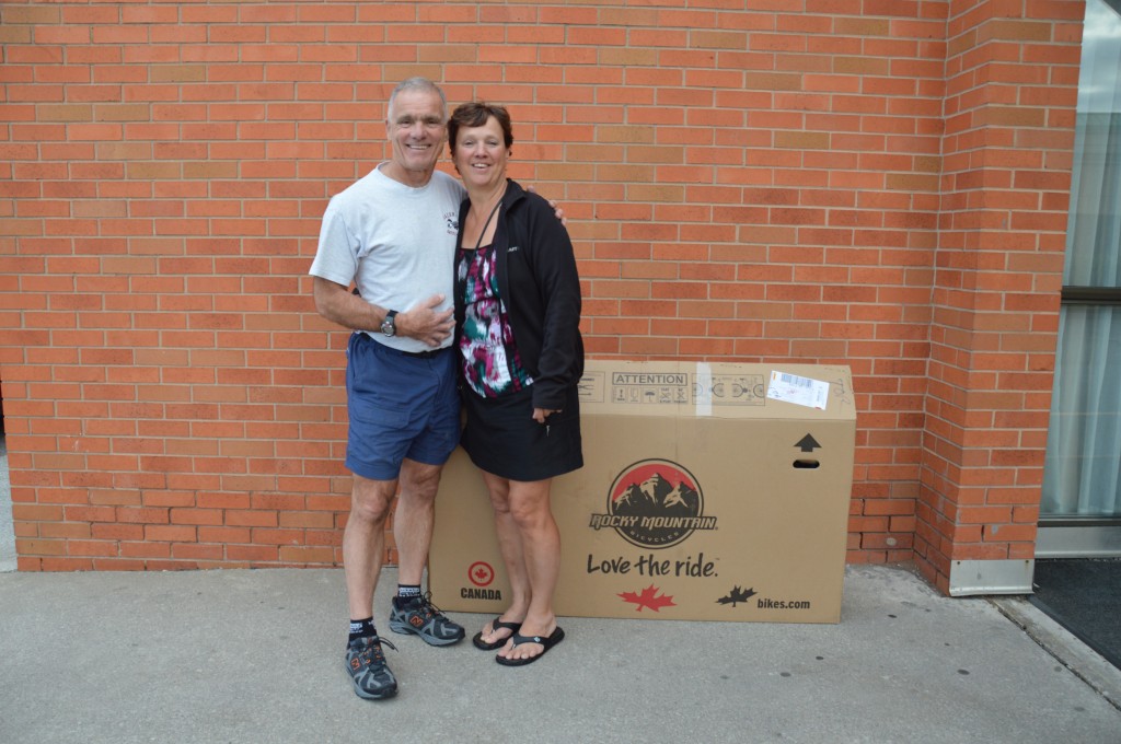
Once in Regina, our bikes were steered by a familiar sign, the DQ.  No one in the group resisted.  Then, it was off to Dutch’s Cycle Shop.  The rear derailleur on my Bertrand bike was original equipment in ’96 and was showing its wear from many miles.  Fred, at my favourite bike shop, Muskoka Bicycle Pro Shop, had arranged for me to pick up a new one.  To my surprise, there was a bike attached to the derailleur.  Fred, at Dutch’s Cycle Shop, fitted me to the new bike well, and it has worked flawlessly since.

DSC_0289DSC_0290

picturedabove:  new derailleur (left) with bike attached (right)

Again, rest day was helpful in catching up, for Joyce, but not before we had a group breakfast at the convenient Perkins Restaurant.  Good food and good company!   While Joyce busied herself with laundry, I biked to Dutch’s Cycle where I picked up my new derailleur with bike attached.  Dutch had measured and fitted the “cockpit” so that there’d be minimal adjustment for me to the new bike.  Also, I swapped accessories.  With those chores sandwiched between meals, little on the blog was accomplished.  The first day of the Regina to Kenora segment would be long.  Time for bed!

Segment 4  -  Drumheller, Alberta to Regina, Saskatchewan

Location  /  Date Time camp to camp Time on bike Max. speed Avg. speed Distance Trip to date
Youngstown, Ab / 05 July 8:16 6:28 41.2 21.7 140.7 1322.5
Kindersley, Sk / 06 July 9:10 6:46 53.2 22.6 153.2 1475.1
Outlook, Sk / 07 July 6:47 5:31 50.1 28.5 157.1 1632.8
Craik,Sk / 08 July 7:47  125.9  1758.7
Regina, Sk / 09 July 8:45  129.7  1888.4


Segment 3 – Golden to Drumheller

It’s tough to roll out of the sack after a relaxing, rest day when you’re cozy and comfortable, savouring a real bed.  What added to the difficulty was the thought that immediately into the ride we’d be heading uphill.  But, our day would include riding through an area which is a favourite of mine, an area which includes the Kicking Horse Pass, the Spiral Tunnels, Emerald Lake, and Field in beautiful Yoho National Park among other scenic spots.

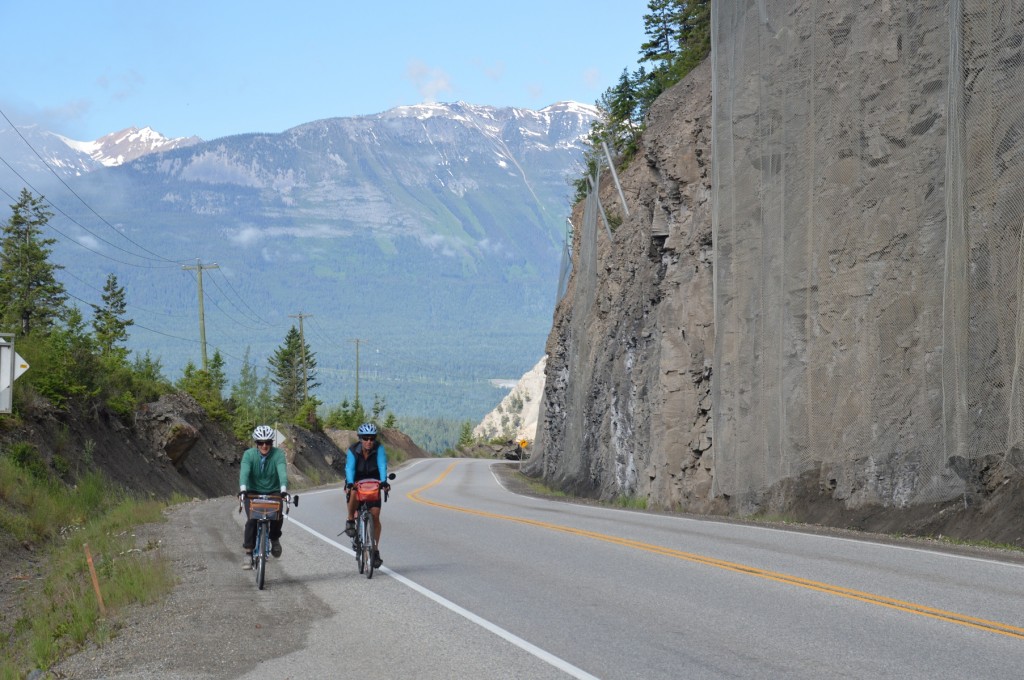
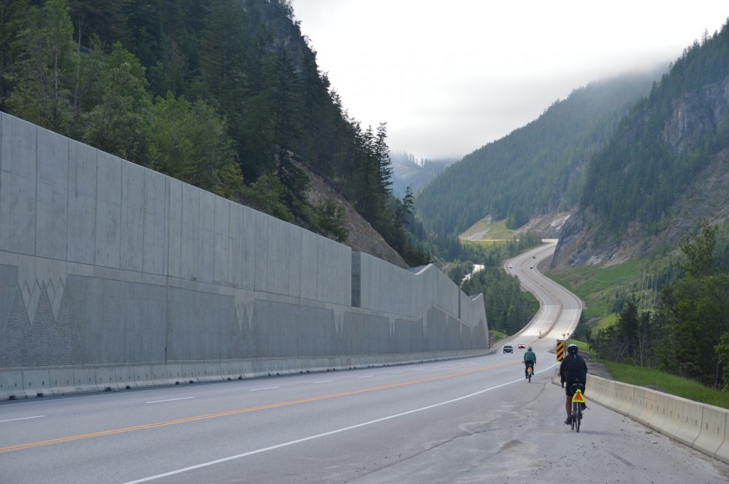
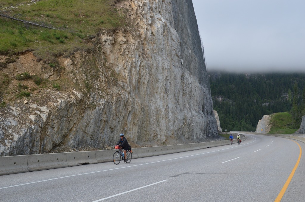
After enjoying good service and a good breakfast, we slowly and reluctantly left the comfort of our B&B of the last two nights.  Our ride began with an incline, which would take us over a fantastic stretch of highway having been reconstructed and re-routed in the past ten years.  It offers good riding and great vistas.  The hills, aside from going up, were gradual, presenting easier, more consistent pedalling.  At the top of this hill, a prelude to the Kicking Horse Pass, was a perfect “Kodak moment”, a group shot of those who ascended the hill with us.

DSC_0383pictured above:  Bill and Joyce ascending above Golden in background

DSC_0388pictured above:  Bill and Joyce descending on new part of TCH east of Golden, BC

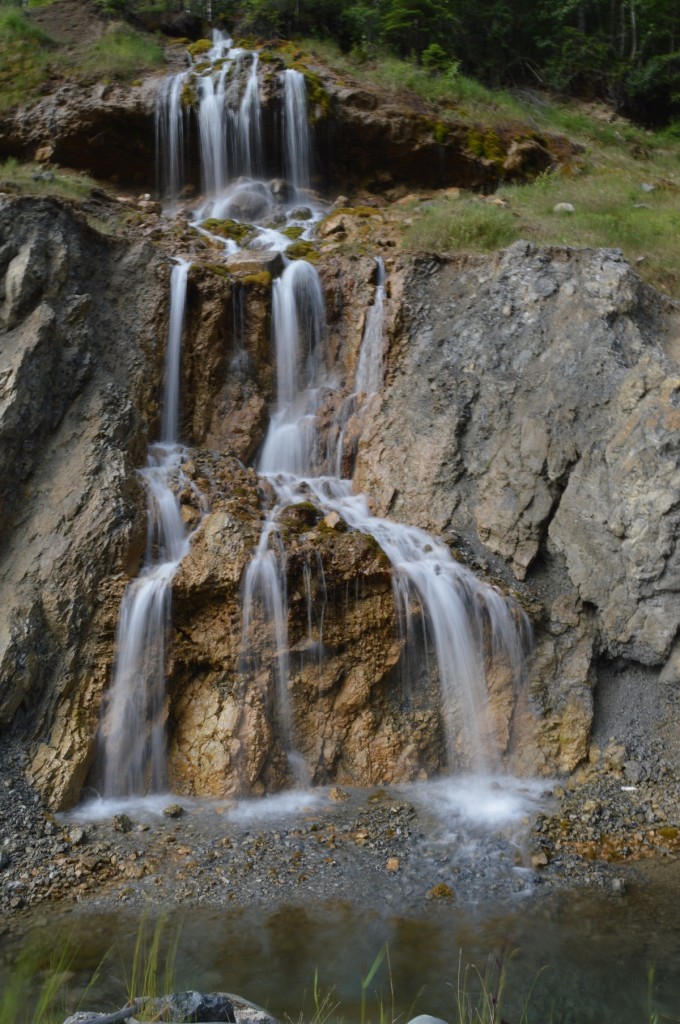
DSC_0390pictured above:  one of several mini-falls from holes in the hilside

DSC_0398pictured above:  Joyce heading for the summit with Irene and Bob following closely

DSC_0405

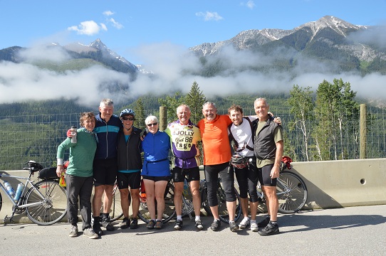
pictured above:   “Kodak moment” of Bill, Mike, Joyce, Irene, Bob, Larry, Gee, Dan at first summit above Golden, BC

Like much of the mountain riding, pictures were a must.  It was tough not to stop regularly to record the scenery, the ride taking longer than normal.  But, it wasn’t long before we were in Field, a small town on the Kicking Horse River, established in the 1880s as a community for the construction workers of the Canadian Pacific Railway.  The CPR still runs adjacent to the town, but the railway is not as prominent in the town as in years past.

DSC_0408pictured above:  morning dew on flowers on roadside west of Field

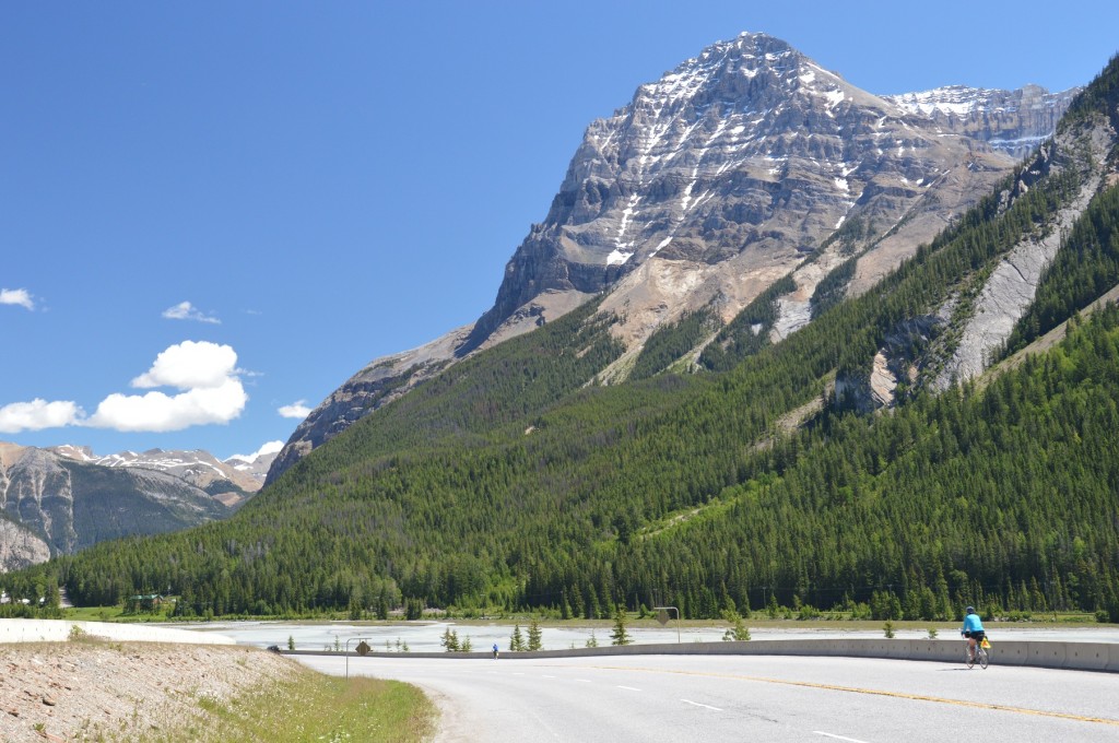
DSC_0412 pictured above:  Joyce approaching Field, BC dwarfed by Cathedral Mountain

DSC_0422pictured above:  CPR train westbound toward Field; Kicking Horse River in foreground

Due to a storm the previous night, power had been knocked out, so we were out of luck for services, primarily, a coffee break.  It was even tough to get our water bottles filled for our continued journey on this hot day.

Up we pedalled to the Spiral Tunnels, then the summit of Kicking Horse Pass.

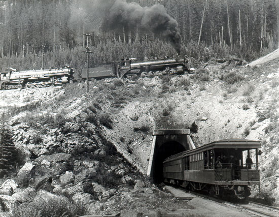
spiral tunnels

DSC_0293pictured above:  b&w photo of yesteryear compliments of Field website; both photos of the Spiral Tunnel

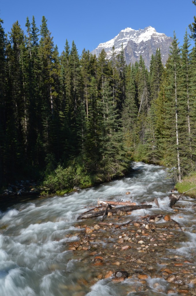
Kicking Horse Pass and the adjacent river were named by James Hector of Captain John Palliser’s expedition in 1858. Hector, a naturalist, biologist, and doctor on the expedition, was kicked by his horse while crossing the pass.  In 1989, the Canadian Heritage Rivers System Board recognized the Kicking Horse River as a Canadian Heritage River. The designation recognized the heritage values of geology and earth history, exploration and transportation history, and scenic and recreational valuesKicking Horse Pass is the highest point on the Canadian Pacific Railway, at an elevation of 5,338 feet (1,627 m).  (Parks Canada)

DSC_0428pictured above:  Joyce just east of Kicking Horse Pass summit

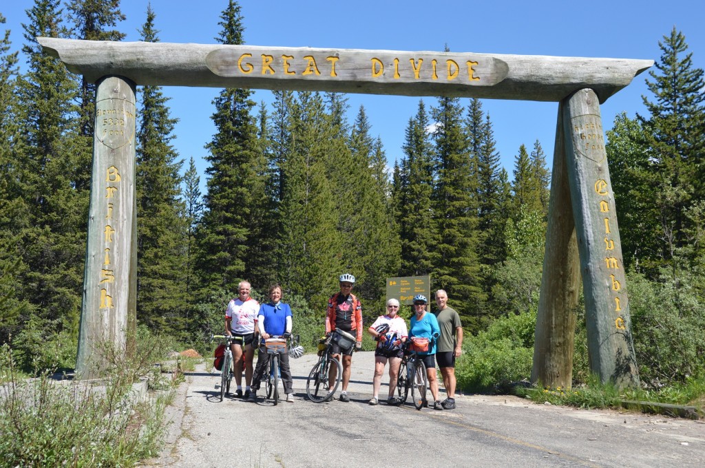
This eventually led us to the old highway, which we traversed, first crossing the Great Divide, the BC / Alberta border.  After a photo op, and contrary to a sign at the entrance, our group of six stayed together and made plenty of noise for bear reasons on our way into Lake Louise.   Some opted to continue up to the famous lake.  Others, including Joyce and I, continued to our campground for the night in the village of picturesque Lake Louise.

DSC_0433pictured above:  Bob, Bill, Fred, Irene, Joyce, and Dan 

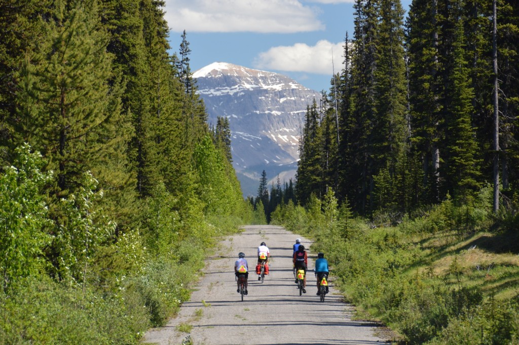
DSC_0436pictured above:  riders including Joyce  on right heading toward Lake Louise on old highway

Mike, one of our tour riders, had heard about the “Great Divide”, and decided to go there,  … alone.  From England, he knew little about bears.  On route, he “flew” by a grizzly grazing by the side of the road.  Shortly after, another bear, which stood up on his hind legs, confronted Mike.  Mike turned tail and rode away quickly, contrary to recommended procedure.  He never did see the “Great Divide”.  Oh yes, and he got back safely.

Our next day, Monday, 01 July was a short day, scheduled so that we could enjoy the area.  Joyce, Bill, and I headed for Banff on the TCH.  Bow Valley Parkway, our planned route, had a sign at the beginning, “closed” due to damage by spring flooding.  We learned later that it was not passable by car, but navigable by bike.

DSC_0452

Stupendous scenery, again!    With a tailwind at our backs, we rode along at an average speed of 29 kph., not fast enough to keep us from stopping to enjoy our surroundings knowing that we’d be out of the mountains tomorrow.  Our 52 kilometre ride only took three hours to downtown Banff by 11:20 am.

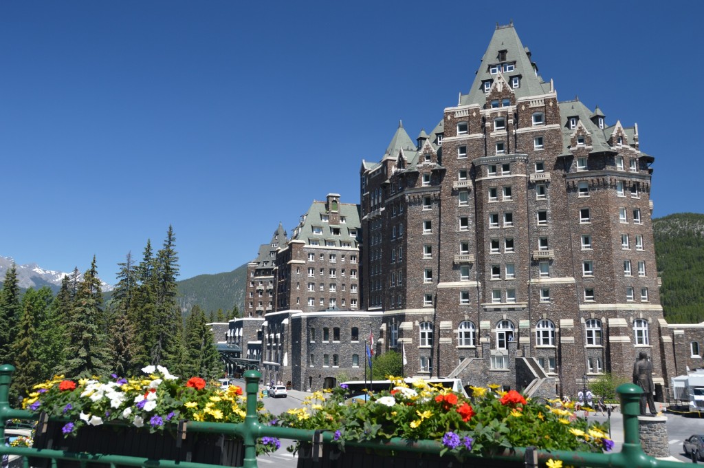
Our bikes allowed us quick passage on the main street, crowded with holiday traffic.  After enjoying lunch and a coffee like tourists, the iconic Banff Springs Hotel was our next stop.  What an impressive edifice!  Joyce and I sat on the lawn across the street and admired the hotel, built on the initiative of Sir William C. VanHorne who stated, “Since we can’t export the scenery, we shall have to import the tourists.”.  A visit to Bow River Falls, quite the torrent, below the hotel ended our day as tourists as we proceeded uphill to Tunnel Mountain Campground.

DSC_0456pictured above:  Banff Springs Hotel

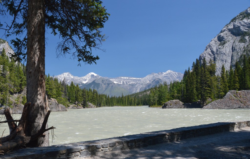
DSC_0466apictured above:  Bow River below hotel

Leaving Banff, the devastation from the spring flooding was quite obvious.  Culverts easily heaved by the surging water lined river banks and ditches.  Crews were putting the finishing touches on pavement in the Canmore area.  And, leaving Banff, we were leaving the Rockies, a beautiful part of this country, this world.


DSC_0475DSC_0480pictured above:  recreational trail washed away; culvert carried away by torrent
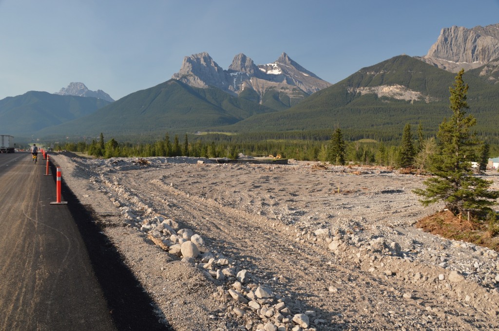
DSC_0478 pictured above:  new blacktop on TCH, Canmore; sediment deposit at right of picture

The flooding closed Hwy. #1A from Canmore, the lesser trafficked, more scenic, secondary route of previous years, necessitating biking along the TCH.  We eventually did shift to #1A further east to watch the mountains slowly, begrudgingly, fade from sight to our rear.  The route led us to Cochrane, Alberta, a Calgary ‘burb, thence north and east to Airdrie, another ‘burb.  The tent site was in a local park near Airdrie arena and facilities.  Our 3:10 arrival allowed us to refresh and relax prior to preparing dinner which was our cooking group’s responsibility that night.

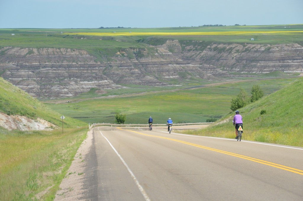
Our ride on the day before rest days always begins with anticipation.  The night of 03 July, we would be rolling into Drumheller where we could relax and catch up on personal concerns the next day.  The day began with cooking breakfast, clean-up, and packing the truck.  Once done, the five in our cooking group were the last to depart.  Biking that day was tough.  Much of the day was cycling into headwinds.  The days’ efforts were ultimately rewarded with a ride into the valley near Drumheller.  Joyce and Bill decided to continue through Drumheller to shop for rest day breakfast groceries.  Mike (he of bear fame who preferred company now) and I took the alternate route to a lookout, and then a river crossing by ferry.  The awesome scenery at Horsethief Canyon Lookout came at a cost, two hellish hills one kilometre plus long at 12%

DSC_0494pictured above:  Mike, Bill, and Joyce entering valley near Drumheller

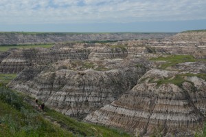
DSC_0504DSC_0509pictured above: view from lookouts on both sides of the river near Drumheller

Mike and I arrived in camp simultaneously as Bill and Joyce did.  They had enjoyed gallivanting around town.  But, Mike and I were the more fatigued from our trek on the longer, harder  course.

Rest day, Thursday, 04 July, our labours were directed toward sundry needs.  Joyce cooked a great breakfast of bacon and eggs for many to start the day.  Then, bike maintenance, laundry, our blog, and a huge order for pizza consumed our time.  Simultaneously with delivery of the pizza, our group learned of a “tornado watch”.  A tornado did not materialize, but a severe thunder storm entertained as we gorged on pizza in the campground rec hall to end a great day.

Segment 3:  Golden to Drumheller

Location  /  Date Time camp to camp Time on bike Max. speed Avg. speed Distance Trip to date
Lake Louise / 30 June 8:00 5:19 49.0 16.5 87.5 844.1
Banff  /  01 July 6:26 2:39 45.1 22.9 60.7 904.8
Airdrie  /  02 July 7:30 6:14 54.9 23.9 148.1 1052.9
Drumheller  /  03 July 8:45 6:23 57.5 20.1 128.9 1181.8


Segment 2 – Merritt to Golden

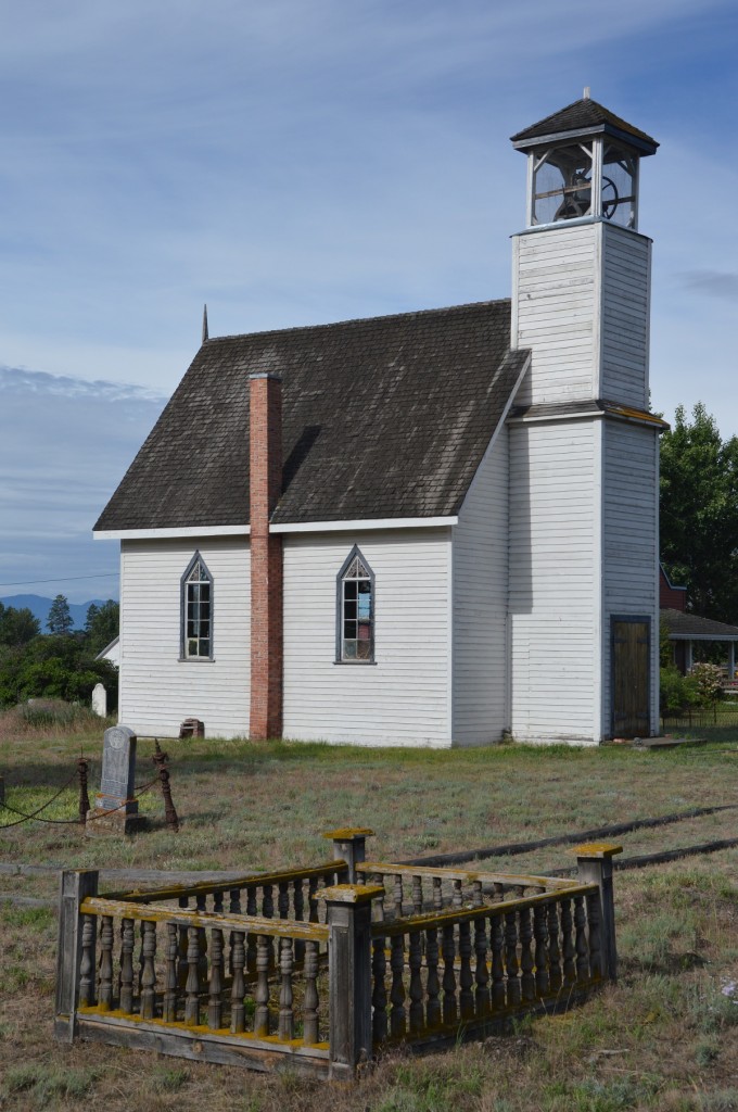
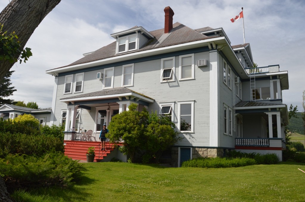
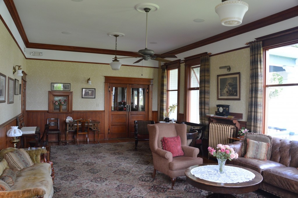
Packed, fed, and caffeinated, our route for the first day of our second segment was the secondary highway between Merritt and Kamloops.  In yesteryear, however, it was a wagon road, the main connection between the two communities.  It wasn’t long before we made our first stop in history, Murray United Church, and shortly thereafter, Quilchena Hotel and Quilchena General Store.  All were integral parts of the communities that sprung up along the route to serve travellers.  Neither the church nor the hotel served us, but Joyce satisfied here penchant for spending money on her grandchildren by patronizing the store.  In the future, we’ll likely return to the hotel to reminisce our tour and its era since it’s still operating with period furnishings.

DSC_0250

pictured above:  Murray United Church established 1886

DSC_0266

pictured above:  Joyce on porch of Quilchena Hotel

DSC_0268

pictured above:  period sitting room of Quilchena Hotel

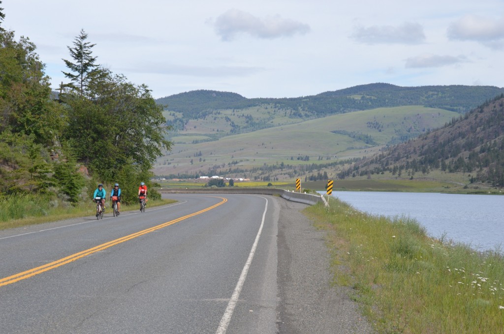
During the day, different riders joined us to take pleasure in the terrific landscape, which varied from grassland to lakes.  The day ended with another tough climb to our campground for the night in Knutsford.

DSC_0252

pictured above:  Myra, Joyce and Jackie on road from Merritt

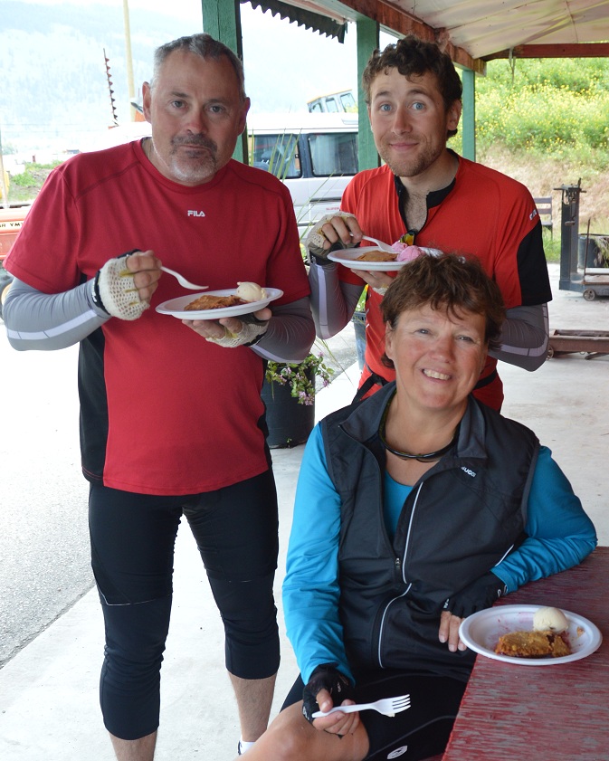
After a tough, twelve-kilometre downhill through Kamloops to begin our day 26 June, we relaxed at a Tim Hortons for a bagel and coffee.   Treats did not end there.  Later that afternoon, Larry and Gee, Joyce and I pooled our finances to buy an out-of-the-oven fresh, apple raspberry pie with ice cream.  Scrumptious!  The pie slid down easier than the ice cream, which the proprietor donated when she heard of our travels.  Sandwiched between treats, Joyce tested my mechanical skills to fix a flat caused by a staple near Pritchard.

DSC_0302

pictured above:  Larry, Gee, and Joyce enjoying pie

Light rain, actually refreshing on this hot day, accompanied us into Salmon Arm.  We chose the “scenic route” into camp.  I‘ve never seen, nor ridden, so many horrendous hills in such a short distance as I did this day.  A shaded campsite by a creek among giant cedar was welcomed.

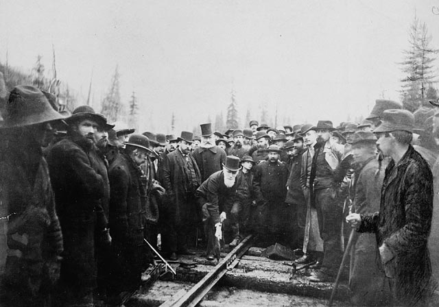
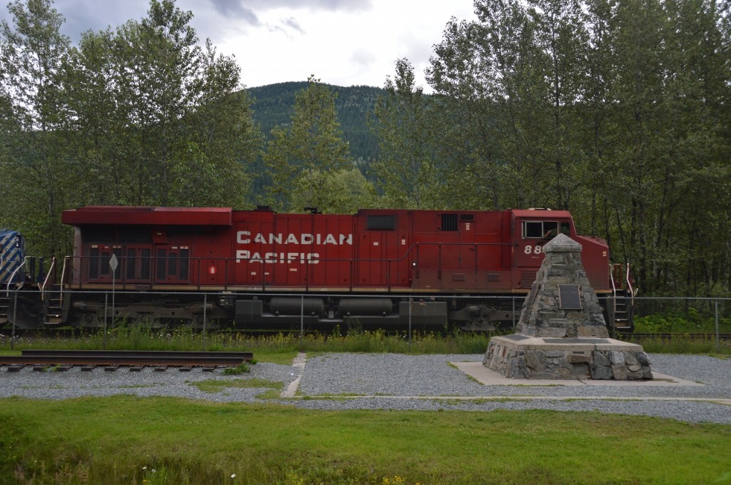
Thursday, 27 June started similarly as the day before with a coffee and bagel at Tim Hortons in Sorrento, not long into our day’s mileage.  Shortly after, Craigelachie, scene of the “Last Spike”, which Donald Smith drove in to complete the “iron ribbon” across the country in 1885, is a must see, historic site many of the riders enjoyed.

last spike

pictured above: Donald Smith driving the “Last Spike” 1885; from P. Buron publication

DSC_0314

pictured above:  train passing “Last Spike” plaque

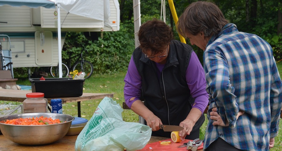
Our cook crew of five was responsible for supper that night, our second of many to come.  Somehow, we five ended up riding together later in the day into our Albert Canyon Campsite.  The scenery was stunning again, Three Valley Gap and Revelstoke still being two of my favourite areas.  Coffee at Tim Hortons in Revelstoke provided the necessary and refreshing  rest for our final push.  Our preparation of chicken and angel hair with Rice Krispie squares for dessert nicely ended another hilly day.

The previous night’s supper, and breakfast of porridge and pancakes, was good fuel for our impending ascent, Roger’s Pass.  It was the third of four, the “Big Brother” of them all, the first two being the Coq, then Eagle Pass near Revelsoke.

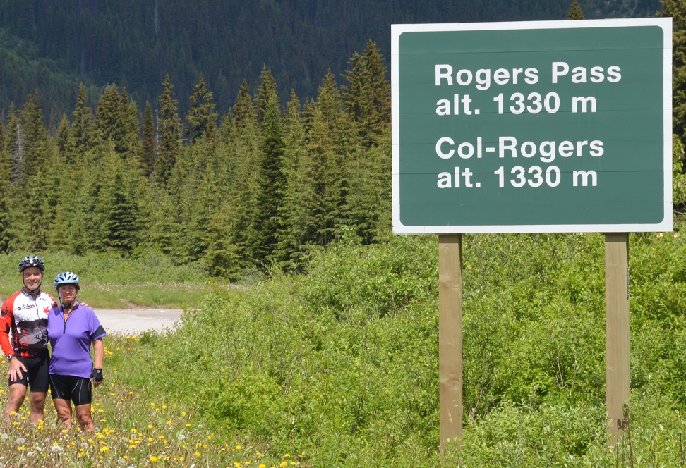
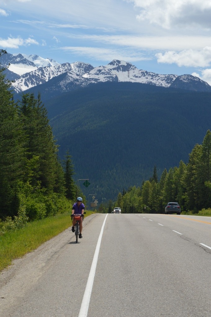
Starting at 9:05 am., it wasn’t until 11:55, after many water, food, and pee breaks that we crested the summit.  The day was clear and sunny, unlike our 2009 ascent of cloud and rain. The striking panoramas kept us constantly awed to keep our minds off the gruelling uphill.  Our celebration at the top included hand-slapping with many other riders, alot of water, and the usual PBJ sandwiches.  The descent toward Golden included five snow sheds, and more fantastic vistas, although we had to keep our wits about us with the fast downhill speeds.

DSC_0358

DSC_0371pictrured above:  Joyce finishing a climb in Roger’s Pass area

Once in the valley, the day was hot and scenically uninspiring compared to Roger’s Pass.  Our water had run out with no services for the last ten kilometres into Golden.  Our pre-arranged meeting with Bill was welcomed with a celebratory banana split at the Dairy Queen.  From there, it was not far to our rest day accommodations, Country Comfort B&B, which Joyce had arranged months back without any argument from me.  Besides the usual rest day responsibilities, Joyce and I indulged in massages.  What a tonic!  Our day ended with a thunderstorm, which we enjoyed with Bob and Irene during dinner at eleven22, a local eatery.

Segment 2  -  Merritt to Golden

Location / Date Time camp to camp Time on bike Max. speed Avg. speed Distance Trip to date
Knutsford / 25 June 6:30 4:00 52.4 22.2 89.1 384.4
Canoe / 26 June 8:45 6:44 46.5 19.7 132.7 517.1
Albert Canyon / 27 June 8:51 6:29 ? 20.5 129.7 646.8
Golden / 28 June 8:50 6:02 53.4 19.7 118.8 756.6


Segment 1 – Vancouver to Merritt

Segment 1  -  Vancouver to Merritt

The cycling route, well marked on the pavement with bicycle markings, on busy roads eventually lead us to quieter back streets and recreation trails.  With our daily map / directions, we easily navigated cycle-friendly Vancouver to end up on Vancouver’s east side.  With only minor deviations, Hwy. #7 showed us the way to our first night’s campground in Mission.  Our cooking group of five TdCers were responsible for cooking supper that night, so we couldn’t dawdle.  Hungry cyclists are not particularly patient.  With the campground admission came a fresh trout.  The trout on a rice bed was a hit for supper.

DSC_0158

pictured above:  Joyce preparing trout dinner with Bill’s helpful eye, another of our cook group

DSC_0166

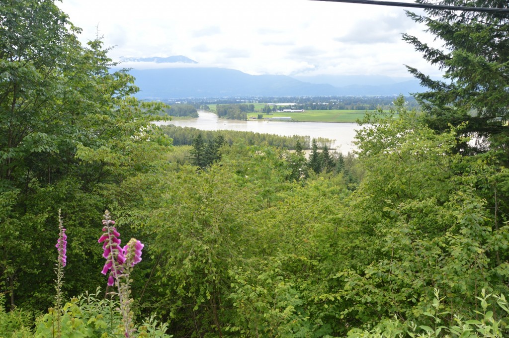
pictured above: Fraser River with mountains in background

Our following day to Hope was also in the Fraser Valley.  It was a hillier itinerary, an indication of days to come.  The Fraser River, the major river in BC and vital to its economy, was a scenic backdrop for the day.  Lunch with other riders in Agassiz was a great interlude.  At the end of

DSC_0173

pictured above: Myra, Joyce, Dan, Louise, and Neil during lunch in Agassiz, BC

the day’s journey, we enjoyed our first treat, a banana split at the DQ in Hope.  I had passed four to that point and wasn’t going to be denied again.

Our second treat of the day was passage along the Kettle Valley Railroad bed.  Starting in the late 1800s, the KVR was constructed at great cost and hardship for economic reasons to service mining interests in the southern regions of British Columbia, and politically, to keep BC from considering joining the United States.  In 1989, the last segment of the railroad was abandoned eventually becoming the scenic trail it is today.  We moved slowly to enjoy the sights and sounds that our short journey over the rail bed offered.

DSC_0190

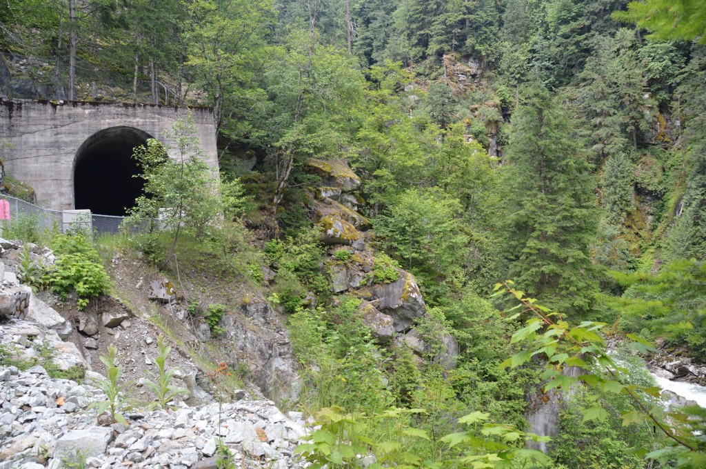
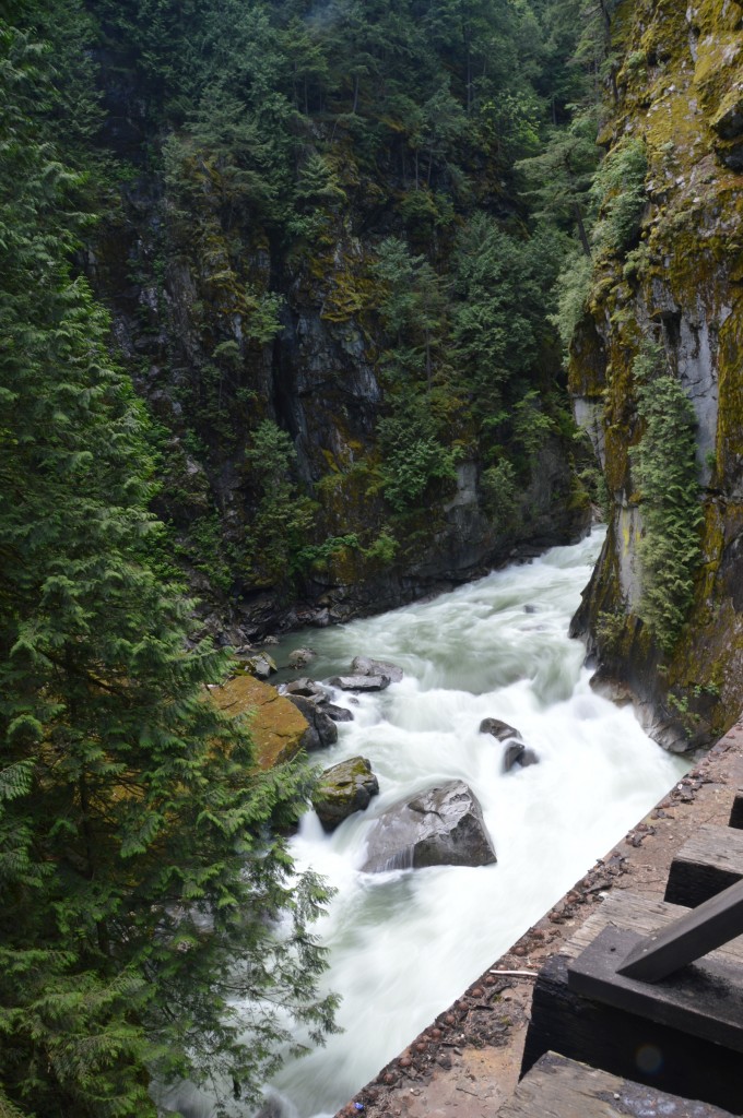
picured above:  railbed (upper left) leading through a 100 metre tunnel, blasted and picked by hand; you can see fast flowing river bottom right

DSC_0196

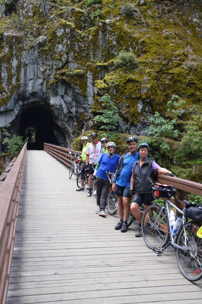
pictured above:  Joyce, Dan, Bill, Gee, Mike, and Larry on trestle between two tunnels with the river flowing beneath (below

DSC_0197

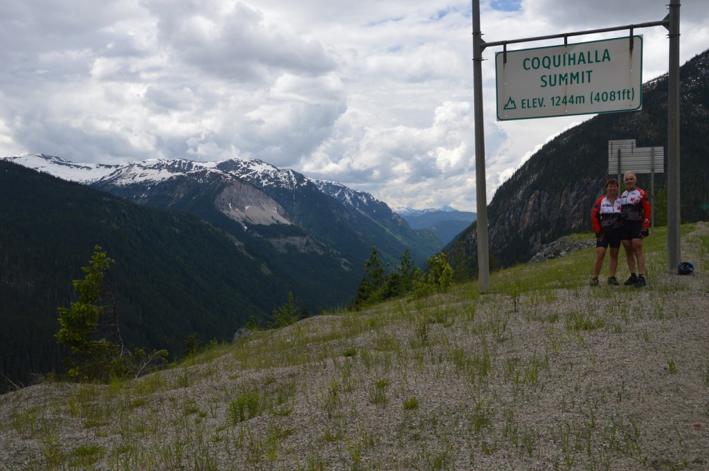
Bed was early since we had a hard day ahead of us, the Coq.  A clear, bright, sunny day greeted us the following morning.  Fuelled and hydrated well, our legs warmed up nicely over the first seventeen, level  kilometres to the base of the Coquihalla Pass.  Our climb up the eighteen- kilometre CoquiHELLa (Joyce’s terminology) started at 9:10 am., and lasted for the next two hours with stops only to refuel and rehydrate.  That was our second, successful ascent, the first being in 2009.

DSC_0239

pictured above:  no caption necessary

Actually, the Coq seemed to be the easiest part.  After a considerable downhill and rest, our legs felt like lead weights as we attacked numerous hills leading into camp.  Additionally, there was some concern as we saw rainstorms in the near distance, but we only experienced light showers ourselves.  Fortunately, the sun prevailed.  We had neglected to pack our raincoats.

DSC_0245

pictured above:  rain in centre right kept ahead of us;  Joyce making the turn

An overwhelming feeling of relief overcame us once we arrived in camp.  A tough, hilly day was behind us.  Merritt was our designated rest day on 24 June.  During our quiet day, we would reminisce the previous three days, and prepare for our next segment by resting, eating, connecting with family, eating, doing the wash, and eating.  Of course, we socialized and became more familiar with our co-tourers, primarily by dining at the hotel in town, recommended by locals.  They were bang-on since we enjoyed breakfast and dinner there.  A co-tourer from our 2009 attempt, Art Ecker, visited us from Penticton to recollect the good times of our 2009 tour.

DSC_0249

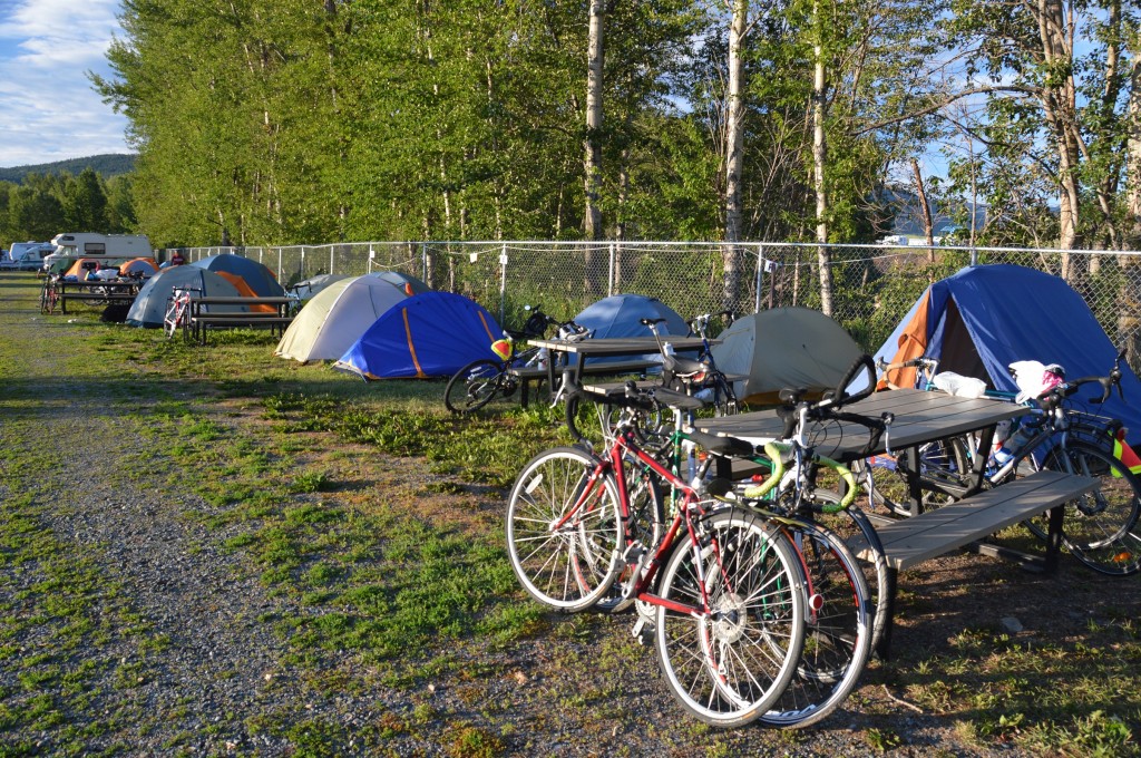
pictured above:  tent row Mission Municipal Campground

The rest day, meals, and socializing did wonders to prepare us for our next segment, Merritt to Golden.


Date  /    Destination Time camp to camp Time on bike Max. speed Avg. speed Distance Trip to date
21 June  /    Mission, BC 5:45 hours 4:11 hours 46.3 20.2 84.3 84.3
22 June  /    Hope, BC 7:25 4:48 ??? 20.8 99.5 183.8
23 June  /    Merritt, BC 8:45 5:55 58.2 18.9 111.5 295.3
24 June  /    rest day            


Pre-tour Tour – Sunshine Coast and East Coast of Vancouver Island

Touring the Sunshine Coast, a Pre-Tour Tour

Amazement!  That seemed to be the prevailing reaction from people to whom we explained our intentions of cycling across Canada.  Then, bewilderment seemed to be the prevailing reaction when they learned that Joyce and I were prefixing a week’s tour up the Sunshine Coast.

Good friends, Doug and Ann Oliver, delivered us to our airport motel, but not before a pit stop for supper at Tuckers Marketplace, the perfect venue to pre-load for our impending tour.  The following morning, Wednesday, 12 June, 2013, our Air Canada flight got us to Vancouver without any problems.  Gage Residence at UBC allowed us great accommodations for the night, convenient eateries, and a place to re-assemble our bikes.  UBC has expanded since we were last here in 2009 and is continuing to expand although the concrete structures, which dominate add nothing to a once pretty campus.  Jet lag and a busy day “forced” us into bed by 8:00 pm.  We did manage to get everything in order for next day’s departure.

DSC_0003_01

Pictured above:  Joyce and Dan sated and ready to go

After breakfast the next morning and a re-check of supplies and bikes, we departed for Horseshoe Bay ferry terminal.  The Lions Gate bridge sure is high.  My propensity for taking pictures had us concerned about getting to the ferry docks over hilly terrain on time.  We barely made it, then enjoyed a hundred minute rest.

Our undulating ride before the ferry was only a taste of what was to come.  My first mistake was going into Gibsons instead of following the main highway.   We had to climb a hill out of Gibsons which dwarfs anything in Muskoka.   Our doctor and cardiologist should be relieved to know that our hearts were equal to the task.  Once we pulled up the corsettes to support our rib cages, our hearts remained in place.  The balance of the day to our Madeira Park B&B was hilly, also, but fine, scenic riding.DSC_0034_01

Pictured above: Joyce sucessfully ascended the hill from Gibsons

DSC_0083_01

Pictured above:  Dan northbound on the Sunshine Coast

The morning of Friday, 14 June, a breakfast of good food and conversation fuelled our ride to  Earl’s Cove ferry docks with time to spare taking no chances again.  After that forty minute crossing, we were back on the bikes to Powell River, a pleasant ride.  We were a couple hours early for our 5 o’clock ferry crossing to Comox, a time to vegetate over coffee and munchies.

The reason, primarily, for our Sunshine Coast tour was to meet with good friends, Stu and Heather Mackenzie.  We didn’t see them at the pre-arranged assembly spot at the Comox ferry docks, so we pushed on.  Not five minutes of riding and a van passed us slowly with Stu’s beaming face framed by the van’s open window.  Stu and Heather had arrived.

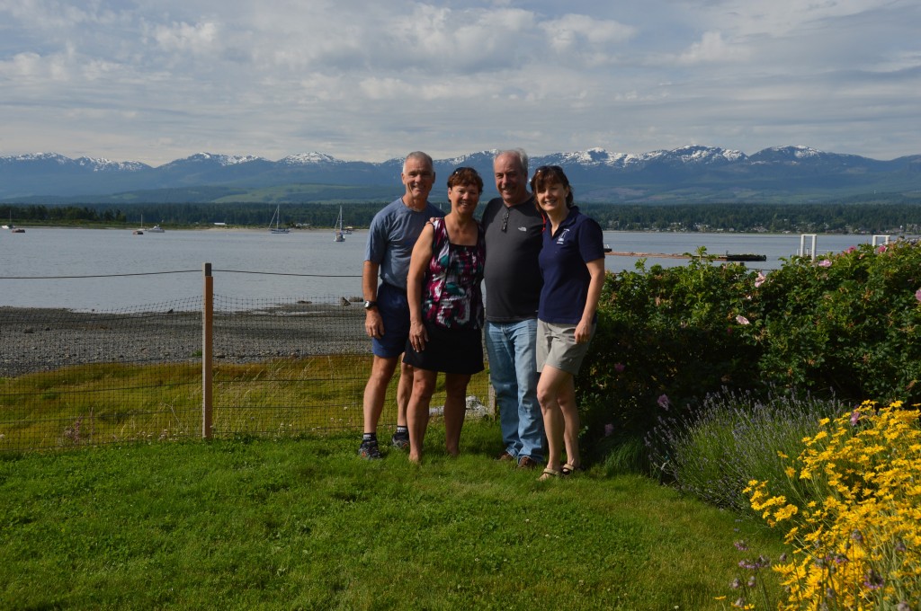
For two nights, we relaxed in their beautiful abode overlooking the water.  The comfort of their well designed and finely appointed home, a credit to Stu’s craftsmanship, was only outdone by their great hospitality.  One evening’s supper was a fresh catch of salmon and halibut, a fine meal.

DSC_0037

Pictured above:  Dan , Joyce, Stu, and Heather; terrific view behind is what you see from the living area of their house

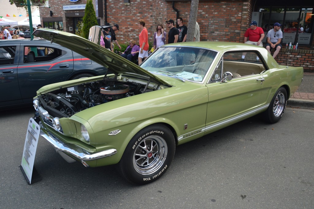
Sunday, it was mighty tough to leave the comfort and hospitality, but we had to leave to maintain our schedule and arrive in Victoria to meet up with our summer, cycling group on Tuesday, 18 June.  We started by playing tourist at the Qualicum Beach classic car show.  Awesome!  The following, two day’s ride on route to Victoria were not great along the Island Parkway, very 401-esque.  We rested well during our B&B stays in Nanaimo and Mill Bay on route.

DSC_0075

Pictured above:  ’66 Mustang which would look good in my driveway

Tuesday, a cycling-friendly bike ride into Victoria followed the short Mill Bay to Brentwood ferry ride.  Our motel was convenient and comfortable.  The evening meal at Don Mee’s Chinese Restaurant in, wherelse, but Chinatown, served up a great meal both in quality and quantity to end a great day.  A special treat was meeting Karen and Kevin Martin from our 2009 tour.

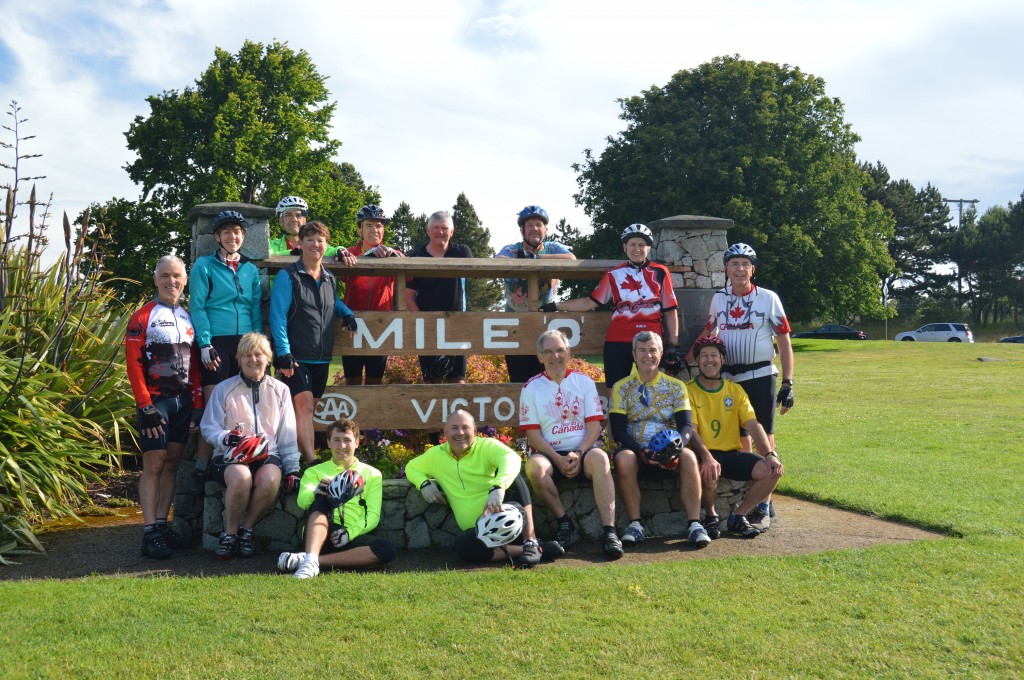
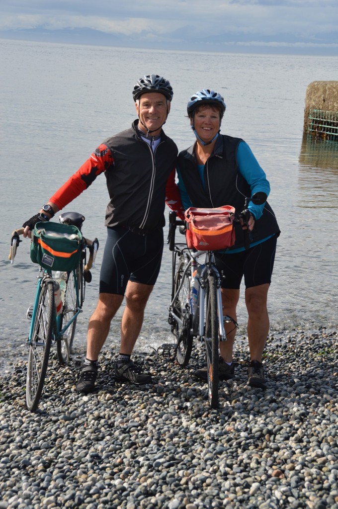
At 8:30 am., Wednesday, 19 June, our cycling group congregated at “Mile’0’” in Victoria.  The cameras clicked feverishly, everybody wanting a momento of the beginning of a classic, arduous journey.  We did the wheel dip close by, then headed eastbound for good.  The ferry and bike shuttle navigated those barriers, the Georgia Strait and the George Massey tunnel, in succession.

DSC_0117

Pictured above:  “Mile’0′” group ready to head for Vancouver

DSC_0125

Pictured above:  Joyce and Dan performng the traditional wheel dip, front wheel Atlantic-bound

The Wednesday evening supper at Mahoney’s Pub on campus helped to further connect the group.  Orientation the following day familiarized us with what would become the summer’s routine.  In spite of the day’s length, sleep did not come easily likely due to anxiety overload.

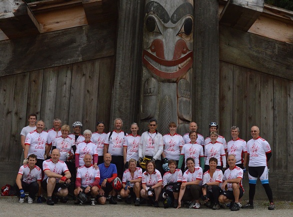
By 6:00 am., we had arisen for final preparations and a breakfast of cold cereal and eggs at the truck.  Then, off to the Museum of Anthropology the group proceeded where the traditional group photograph was taken.  Once done, like disturbed bees from a hive, we Tour du Canada cyclists were on our way.

DSC_0151

Pictured above:  our riding group for the summer with Dan and Joyce front row right

Introduction Tour du Canada 2013

When Joyce and I tried the cross-Canada trek in 2009, I opened our blog as you see italicized below.  Other than being four years further along, little has changed in the 2009 preface.  An “over the bars” accident prematurely ended our tour in ’09, which happened to be progressing so well.  The resultant, broken, right clavicle has healed well.  St. John’s, Newfoundland is again our objective, of course with added incentive.  We’ll do it this time!  Upon completing this trek, I’ll have satisfied my “bucket list” since in July 2010, I enjoyed a terrific, memorable canoe venture down the South Nahanni River in the NWT in a group of eight guided by good friend, Bill Lawson.

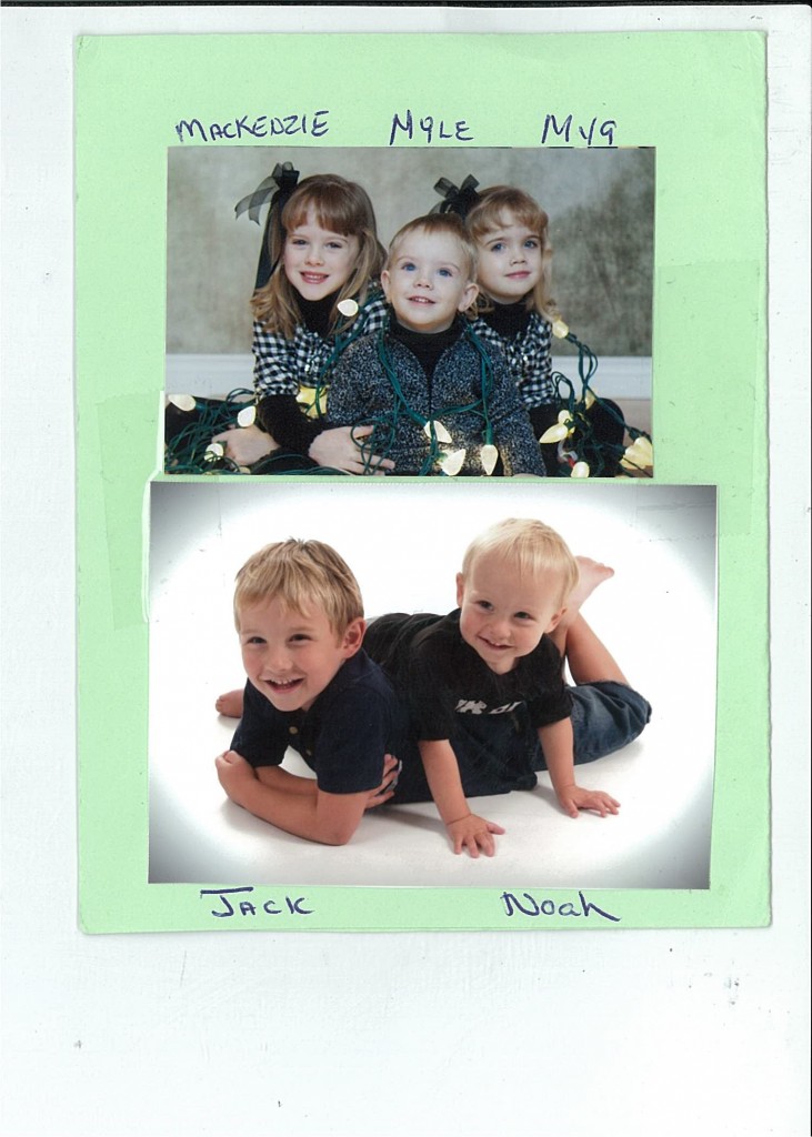
Our Grandchildren now number five, Chris’ two boys, Jack and Noah, and Robert’s two girls, Mackenzie and Mya, and one boy, Myles.  Besides being blessed with a great family, we didn’t want to delay our trip any longer since we continue to be blessed with good health.

“For the past ten weeks, Joyce and I have been training using a training programme from a book, the Complete Guide of Long Distance Cycling by Dr. E. BURKE and E. PAVELKA.  The programme is “heart rate” based, and seems to be of the theme “work smart, not hard”.  That suited me just fine since I had no idea how I should prepare for such a rigorous adventure.  In the end, our preparation racked up about 2500 kilometres, the longest ride being about 140 kilometres.

The obvious question would be, “why?”. The obvious, simple answer, “Why not?”

When I was a wee lad in the late fifties, the thing that I wanted most in life was a bicycle.  My parents resisted my desire, due to the traffic, in the 50s no less, for quite a while.  But, I was in the hospital for an unknown malady (likely tonsils since I’ve had them out), and my parents must have missed me.  When I arrived home, a brand new, red, 1-speed CCM two-wheeler was at the foot of my bed. I was ecstatic, and frustrated.  Another week’s bed rest was ordered by the doctor.  For a whole week, I had to look at my new mount.   I eventually got out, and onto the bike.  It didn’t take long for me to “spread my wings”, and enlarge my “sphere of influence”.  Days of riding to places like Rest Acres, west of Brantford, for a day of swimming, and lunch with a couple friends became the norm.  There were few places I went without my bike.  I even went so far as to suggest to my Dad that I was going to ride to the cottage some 310 kilometres distant.  That suggestion elicited a quick, profound “No!” from my Dad.  So ended my thoughts of cyclo-touring, at least, temporarily.  My teen years, my fascination with cars, and wanting to be with the “in-crowd” in highschool diminished my interest in bicycling.  My parents even sold my trusty steed pretty much purging my life of the bicycle.

In 1980, the Ontario Provincial Police moved me and my family to Huntsville where I embarked on a career in policing.  The government replaced our  decrepit detachment in 1983 with a modern, well-equipped building, including locker room and showers.  Being a new family and having a new career, we made do as a “one-car” family.  Joyce, being the compassionate woman she is, advised me to “suck it up, and get riding” when she left with the Boys for a visit to Brantford in the mid-eighties.  That set the precedent.  For the remainder of my career, the next quarter century, I normally rode my bike, walked, or ran to work, the short distance of five kilometres.

As time went on, I became more interested in riding my bike farther.  In ’96, I bought my first road bike, a Bertrand, which was “made to measure”.  With the road bike came an avid interest to cyclotour.  Books, magazines (Adventure Cycling, mainly), and general conversation with like-minded people convinced me to get going. I did.  It wasn’t long before Joyce started to question my interest.  I gently coddled her with some short, “credit card” tours increasingly taking bolder steps.  It wasn’t long before we were touring fully loaded, most notably the Erie Canal, and Quebec City to Ottawa, great tours both.

Leading up to my retirement, it became quite evident that there were two priorities on my “bucket list”, one being the “Tour du Canada”, a ten week bicycle tour of all ten provinces starting in late June.  Joyce just couldn’t comprehend being separated for two months.  Coupled with the fact that she’d talked to other female veterans of the tour, Joyce made the monumental decision to accompany me on this epic trek.  Her big concern was leaving her responsibilities at home, primarily being a Grandmother to her three Grandchildren. A tough decision! 

The training started in earnest in early April.”

kids scan


e-mail tour announcement

2013 TdC

Family and Friends:

Finally!  Joyce and I finished our training yesterday with a 150k ride.  Our training has improved our fitness level to smoothen Muskoka’s hilly terrain, eliminated pounds (Joyce has curves again), familiarized us again with the PB&J diet, and trained our bikes to turn into all ice cream joints.

So, it’s “do or die”.  Heavy on the “do”, please!  After ten weeks of training using a schedule from a reputable source, Joyce and I are confident that we are as ready as we can be short of “race ready”.  We’ve got 2000+ kilometers in our log, and we haven’t even started.  We appreciate our Families’ support.  Fred and Greg at Muskoka Bicycle Pro Shop have been instrumental in getting the bikes in top shape for a trouble free venture.  Krista MARWICK did a terrific job of massaging to keep our bodies supple.  And, Dan FINCH of Computer Tech improved my blogging proficiency so that family and friends could follow our quest.  Of course, we thank all who bid us “best wishes”.

We are travelling with the tour group, Tour du Canada, whose interesting website is www.tourducanada.com/ .  Have a gander.

We leave Huntsville Tuesday, 11 June afternoon for our flight Wednesday morning.  I’ve organized a pre-tour tour following the Sunshine Coast to Powell River, across to Comox to visit a friend, then down the east coast of Vancouver Island to meet up with our tour group in Victoria on 18 June.  After congregating at “Mile 0” 19 June in Victoria for obligatory photographs, we proceed eastbound for a day’s orientation at UBC.  21 June, finally, it’s “game on” as we head eastbound for St. John’s, Newfoundland where we arrive 29 August.  The days begin with somewhat low kilometers (ie: 70 – 80), then by mid-trip, we are into bigger kilometers (150 – 180), regularly.  Gulp!

Attached here is the website address for our “blog”.  I got terrific help from the aforementioned Dan FINCH, who has an enviable grasp of the computer.  Once I get the hang of it, entries will be simple, and should be easier with practice.  Should there be any problems on my end, me being only superficially computer literate, Dan has generously invited me to seek his expertise.

It’s incredible the number of people who wanted to have the address to monitor our progress across this huge expanse of land called Canada.  So, here it is.

http://tailwinds2.lan3.net

I’ll make entries when possible, likely rest days, which occur regularly.  There are a lot of variables involved daily, most notably the length of the day in the saddle, and my level of fatigue.  If anybody feels that we should be making entries daily after a 180 km. ride, I invite you to join us, then take dictation at the day’s conclusion.

It would be nice to have days of 20*C, cloudy bright, with tailwinds, most cyclist’s dream.  With our experience on bikes, we know that won’t happen, at least, not regularly.  So, we’d be happy with, and are looking forward to, a great experience with no or minimal, body breakdowns.

Have a safe, enjoyable summer.  As the song goes, “Oh, we’ll see you in September”.  With all our exercise, we hope that you’ll still be able to see us, too.

Regards,

Joyce and Dan