A cacophony of alarms interrupts the early morning silence. Soon to follow, there’s the usual chorus of flatulence. Finally, a symphony of zippers fills the air. By now, most of us are arising to meet the day’s challenge.
This segment caused some anxiety within the group since it’s the longest segment of the summer between rest days. Our anxiety was well warranted on the first day out of Regina heading for Crooked Lake. Our cook group of four left late since we had been on kitchen duty that morning. The day was sunny and warm. The easterly winds were against us for the first 117 kilometres making for an arduous start to the day. Rest breaks in Indian Head and Wolseley, where we turned north off the highway, were welcomed stops, which broke up the morning’s tough pedal. Not until our last fifteen kilometres into camp did we have headwinds again, testing our patience and resolve. Fatigue had already set in. Supper was ready. A swim in the lake adjacent to our campsite was tempting. But, showers were chosen and quick, and so was sleep.

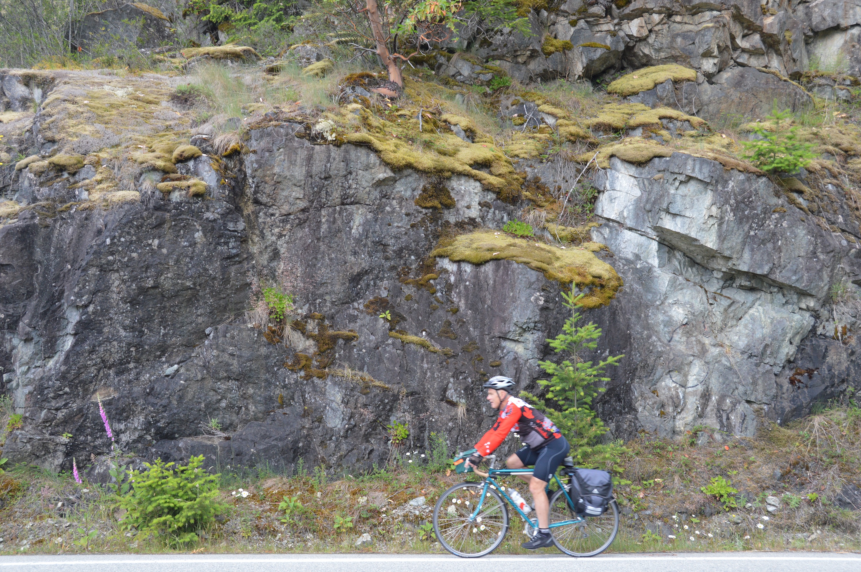
Bob’s favorite pastime
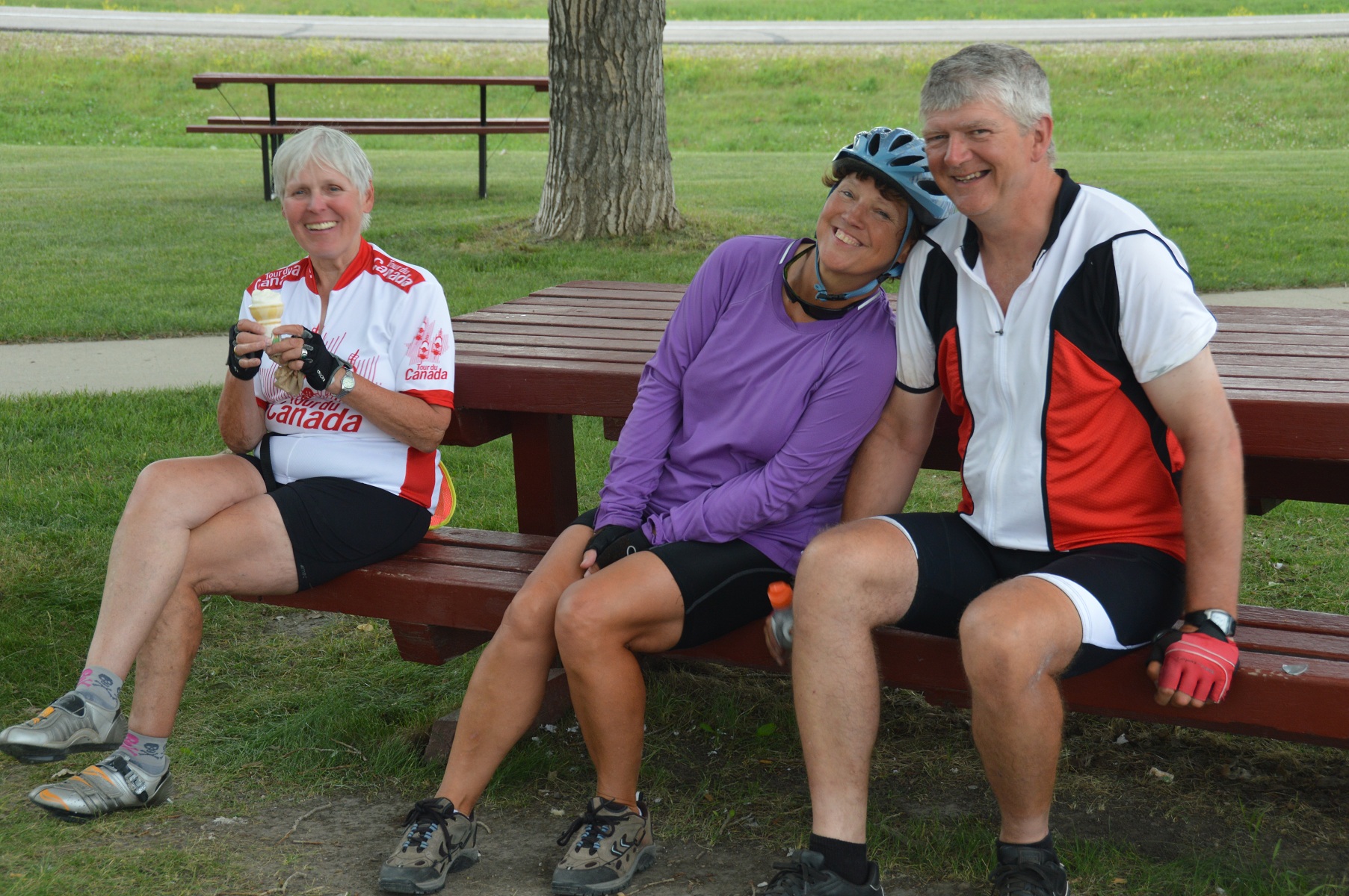
Joyce and Mike hamming it up to Irene’s delight
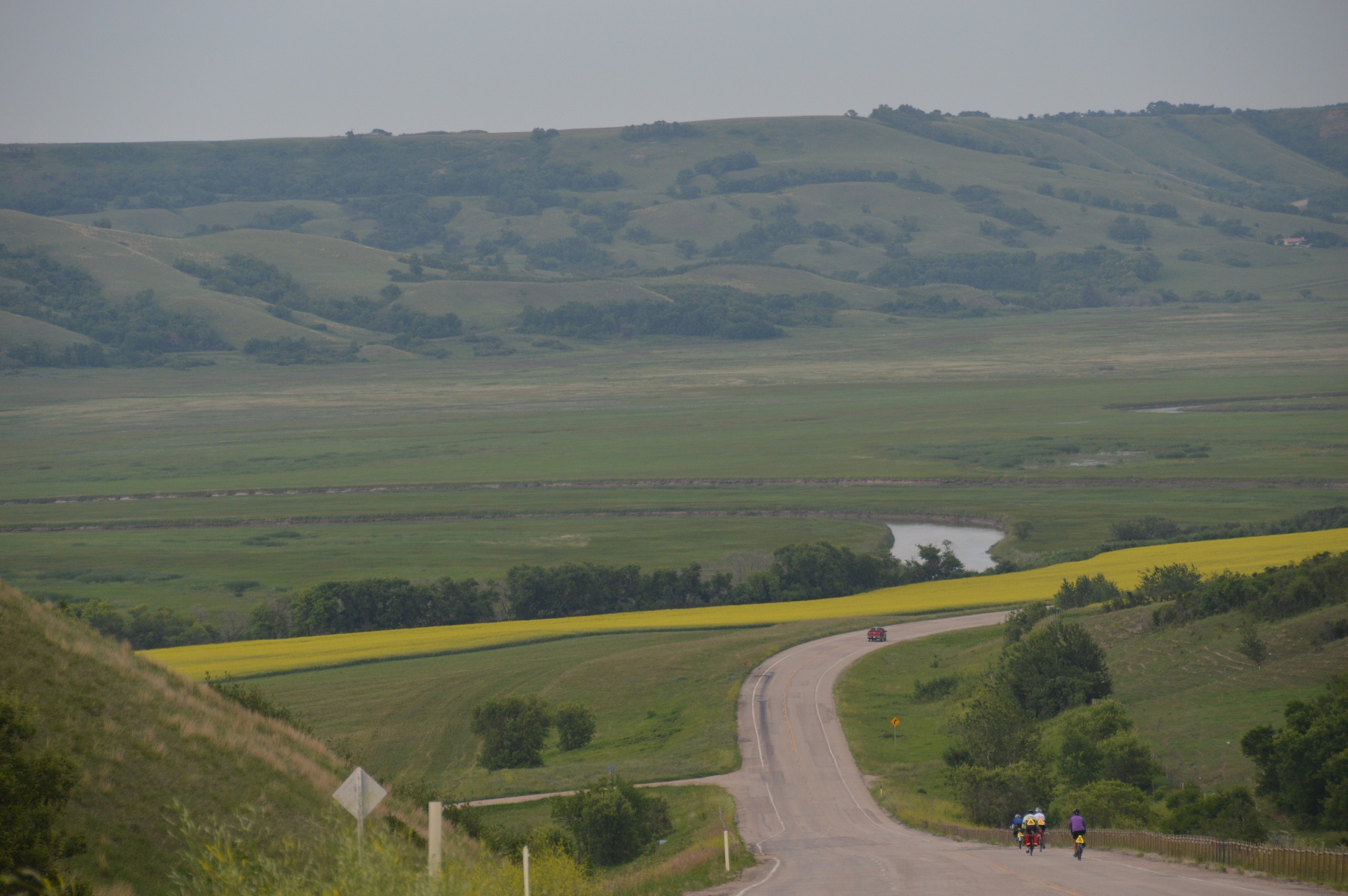
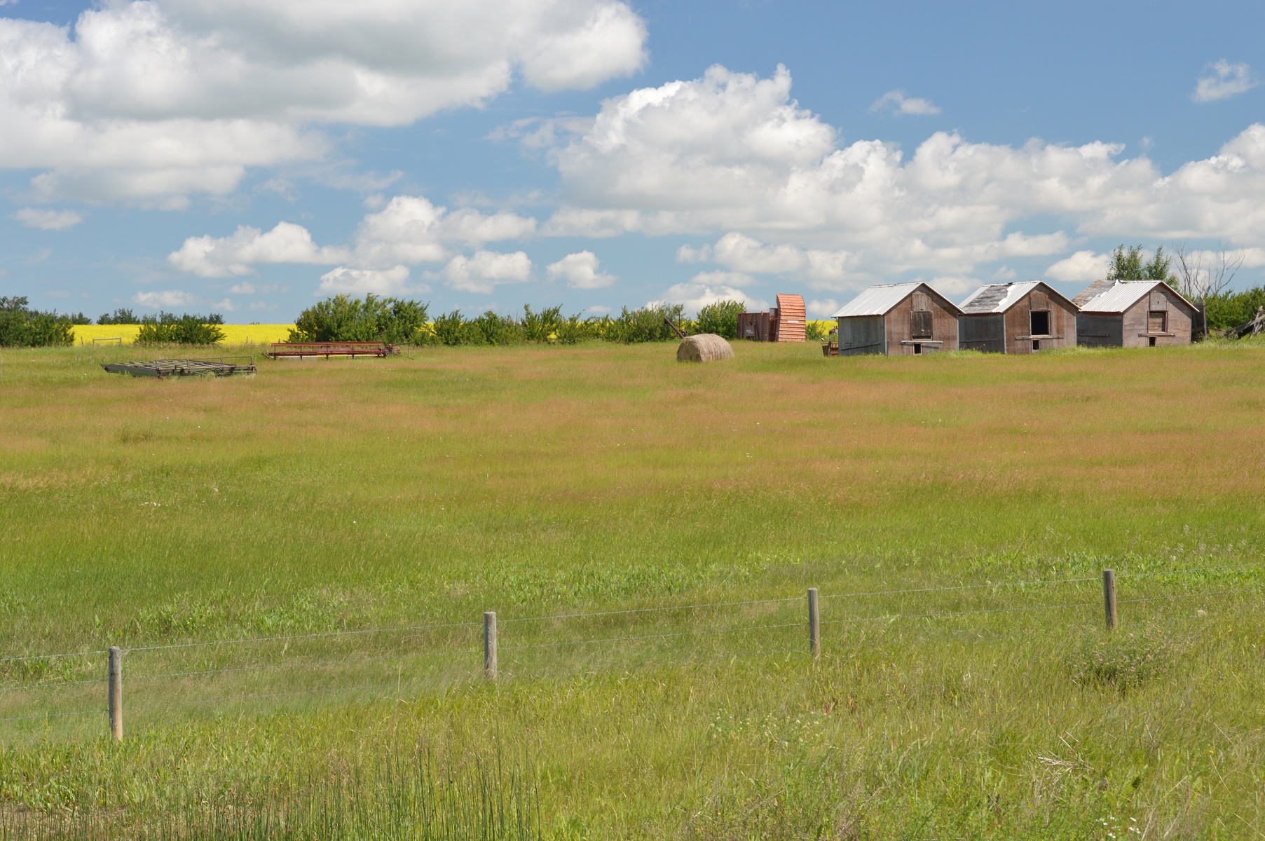
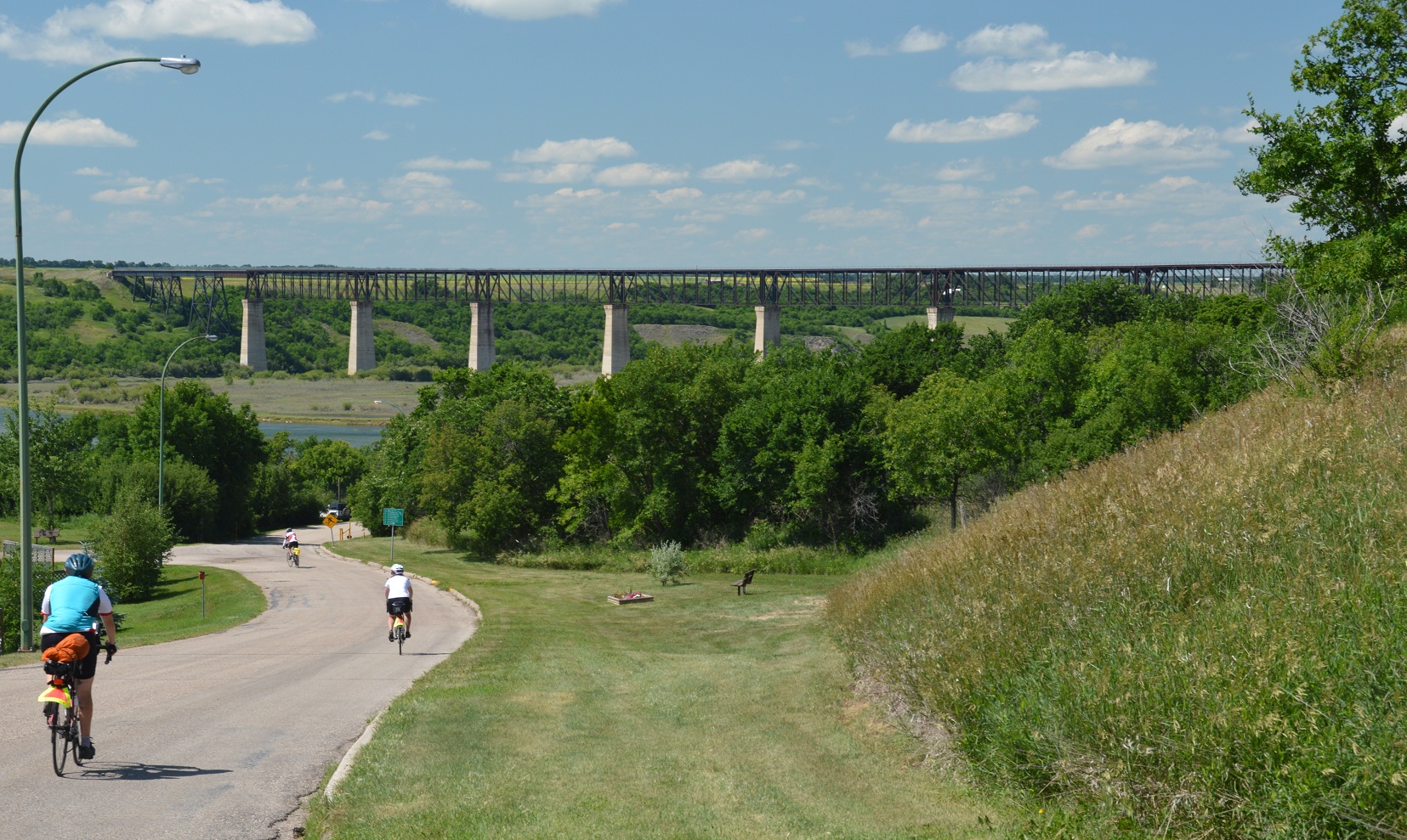
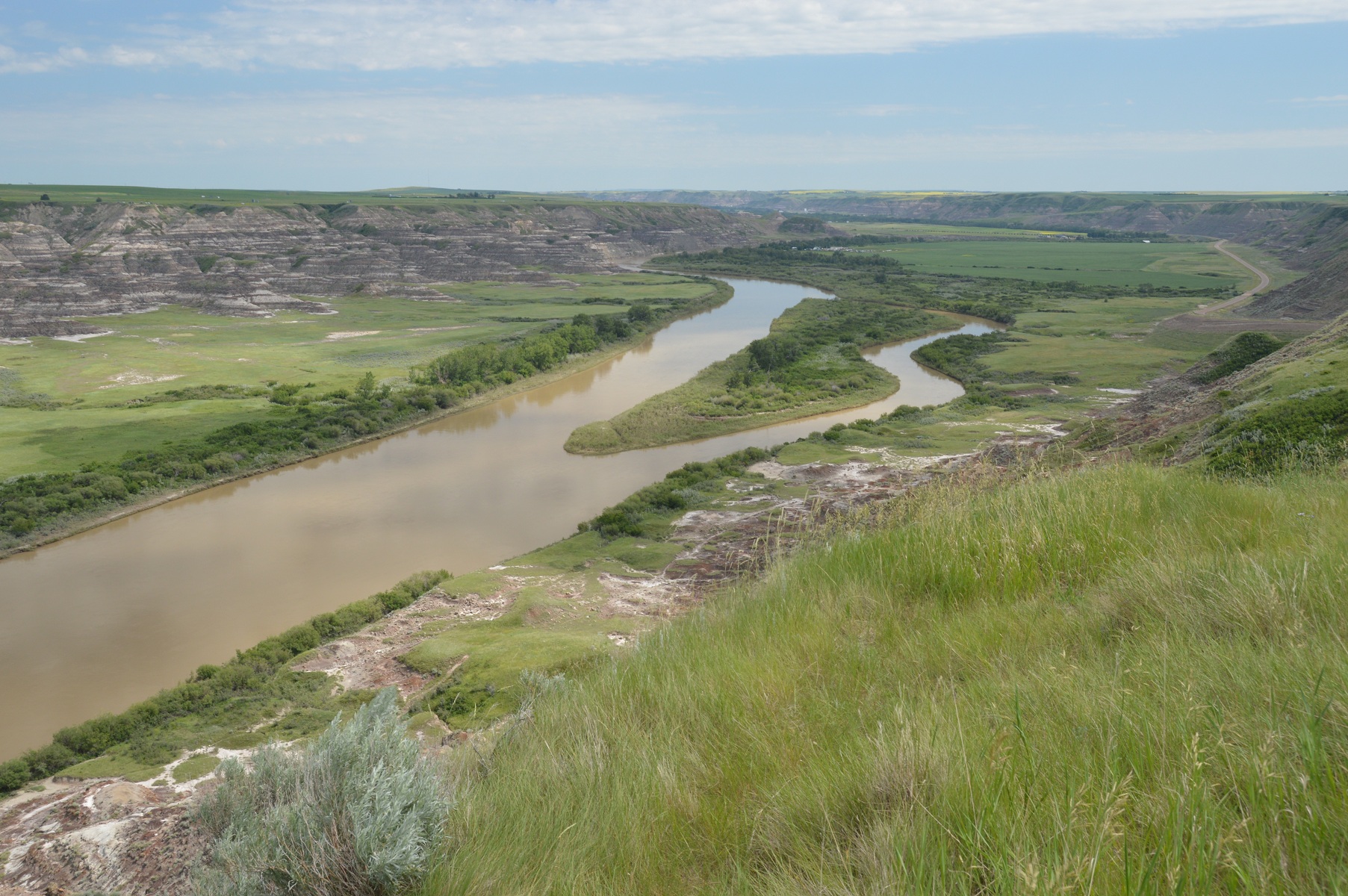
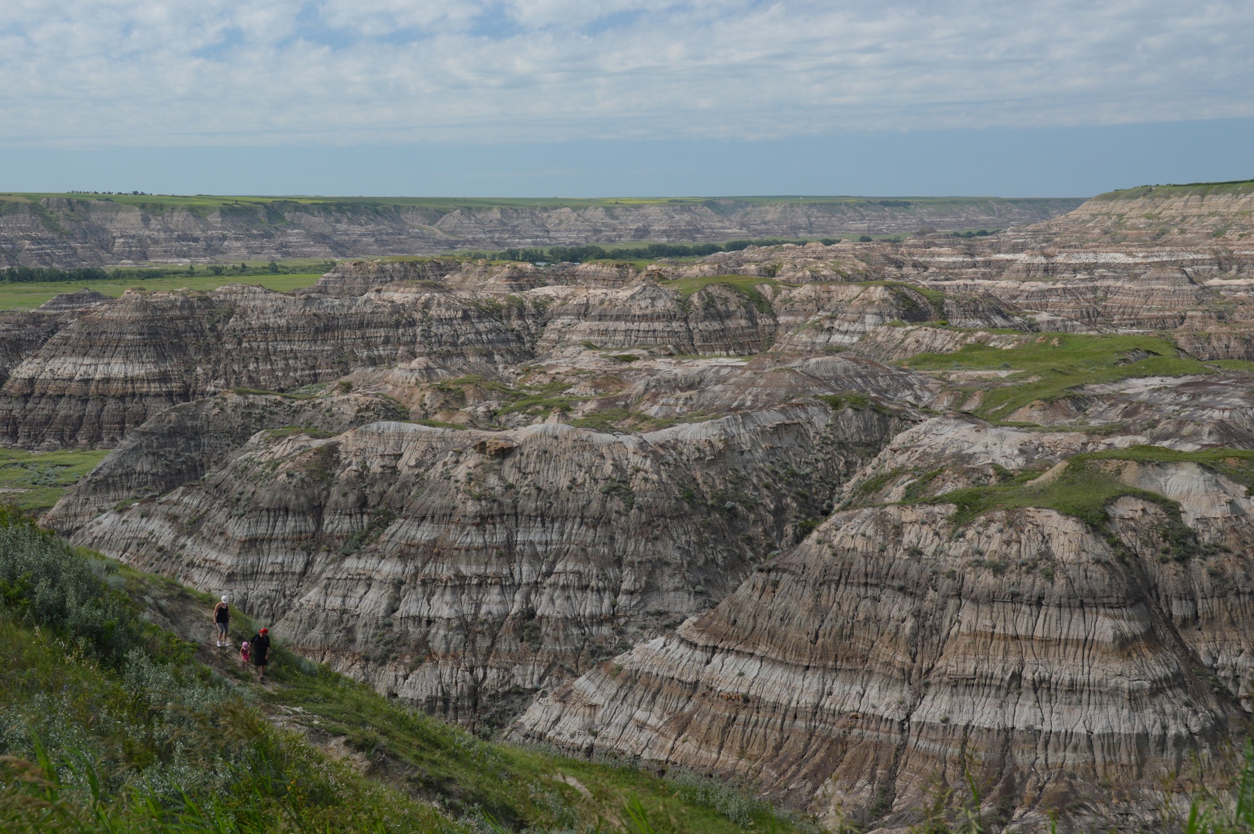
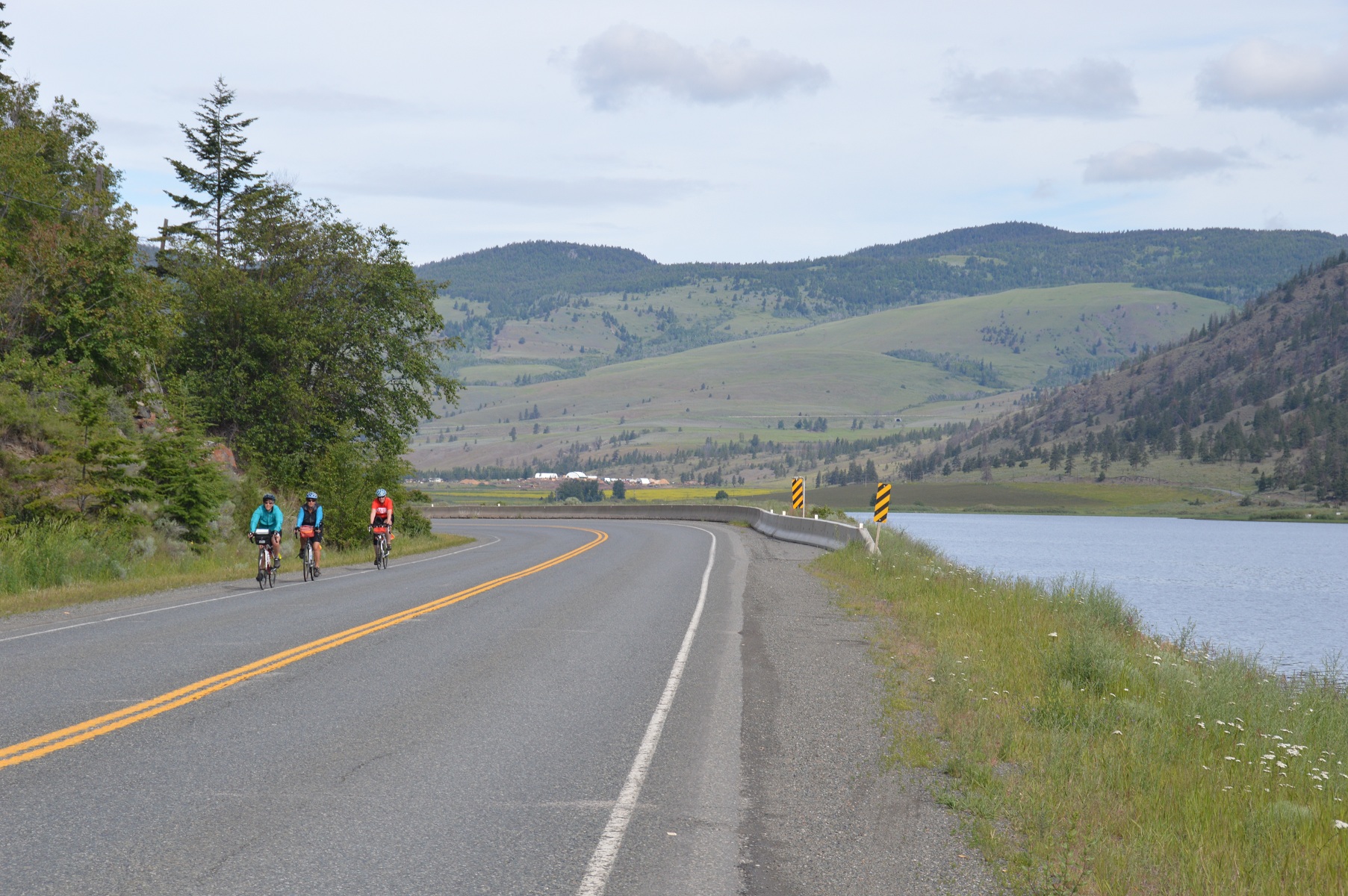
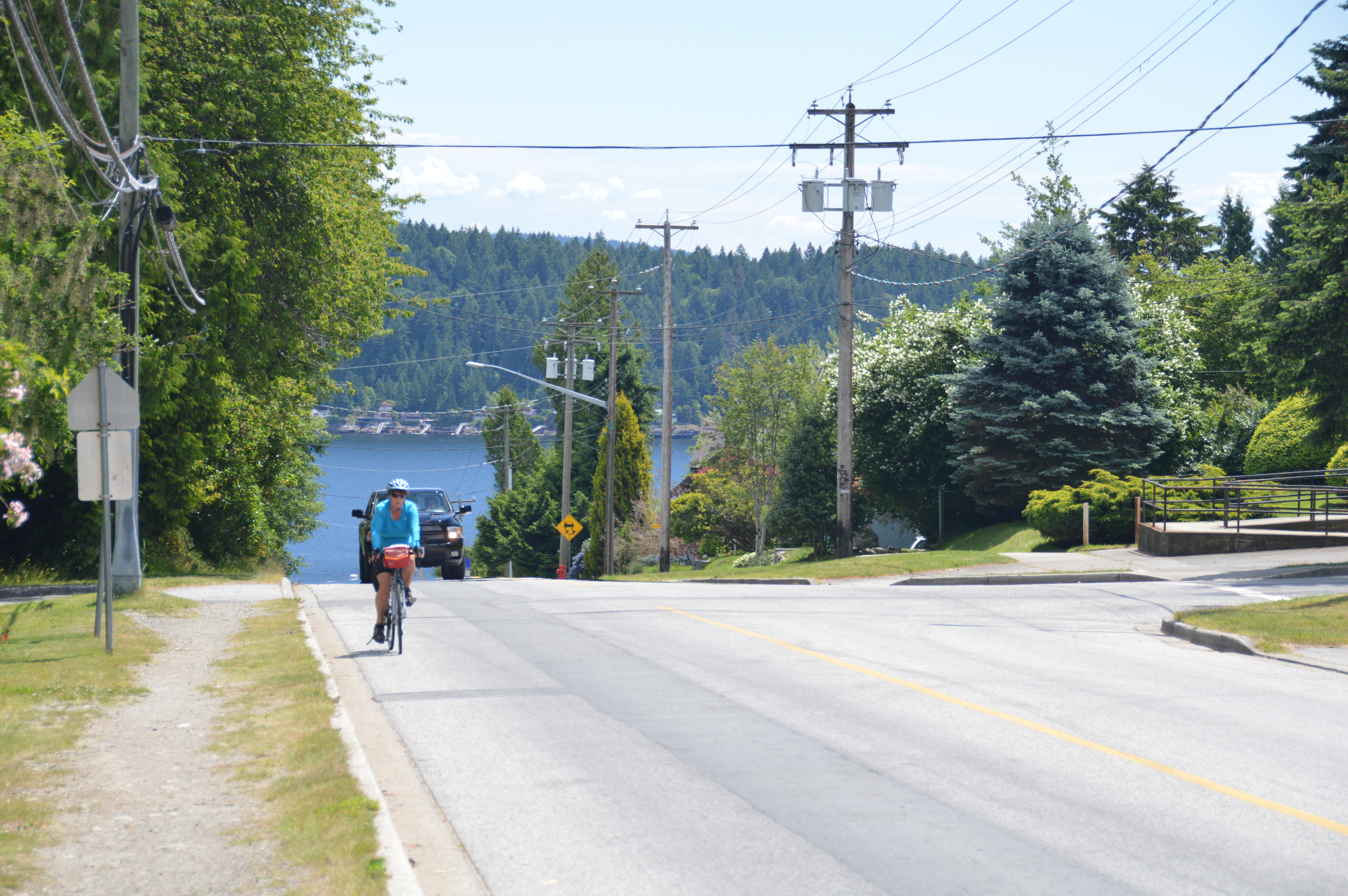
entering the Qu’Appelle Valley on route to Crooked Lake
We were slow to arise the next morning, Monday, 12 July. The initial part of the ride was pleasant through the Qu’Appelle Valley. But, a helluva hill met us to exit the valley. Esterhazy had a fundraiser to upkeep their grain elevator. Hamburgers and pop purchased to help the cause never tasted so good. Mike from our cook crew was experiencing tire flat problems leaving Esterhazy, so a couple of us stopped to help. I sent Joyce along with others. She was not to be seen again that day until I arrived in camp. It’s the second time, when I’ve crossed a provincial line that Joyce hasn’t been with me. The tent was set up, so Bob and I patronized the Binscarthe Camp and Pool campground store for a large ice cream cone. Dessert first that day seemed to be a good idea.
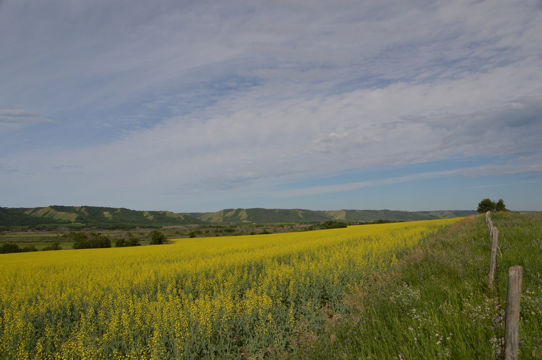
view west along Qu’Apelle Valley shortly after leaving camp
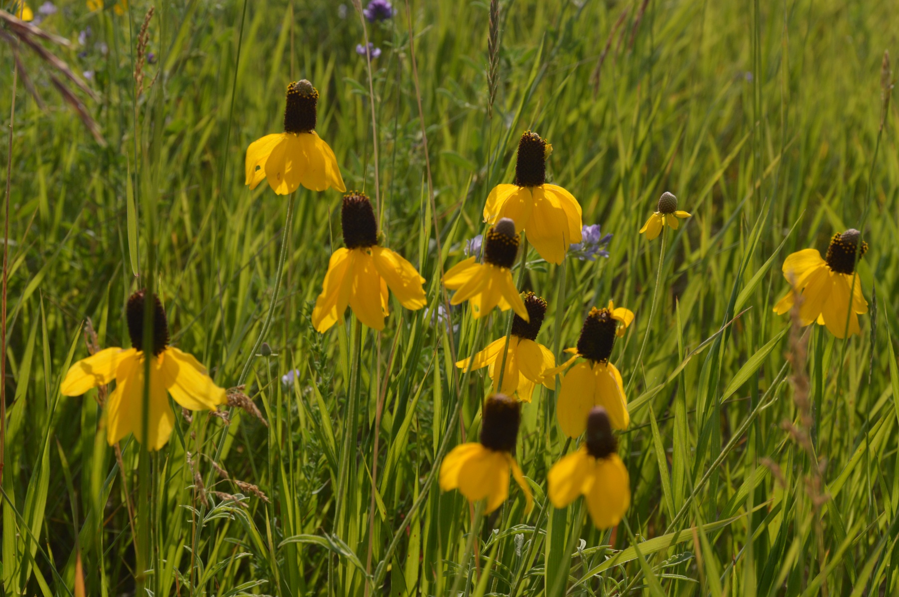
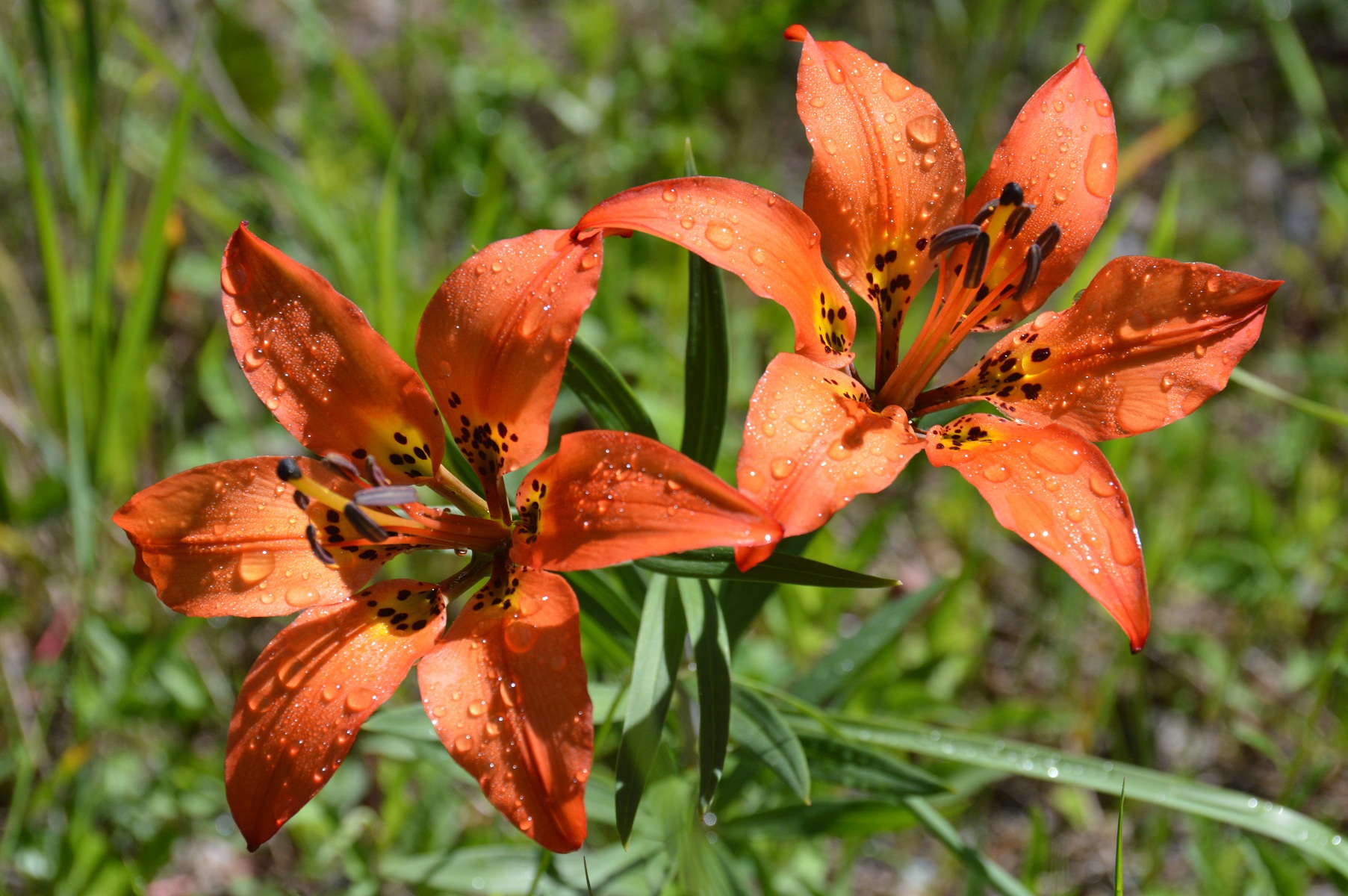
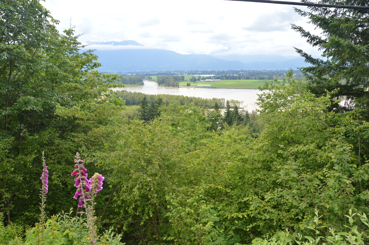
wild flowers which we have enjoyed most of the tour

the lineup for hamburgers in Esterhazy
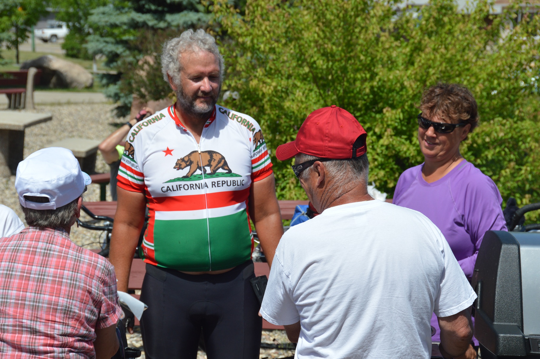
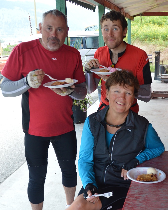
Eric and Joyce in line for hamburgers

three amigos; Myra, Becky, and Louise
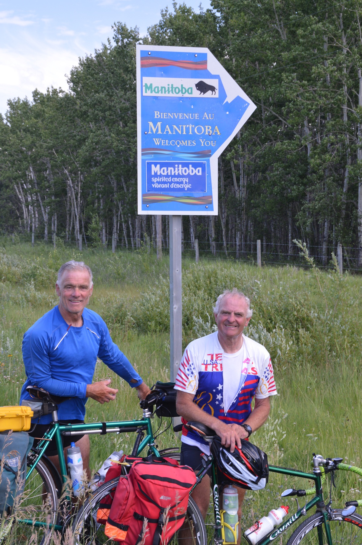
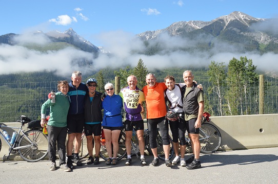
Dan and Bob about to enter Manitoba
Our day to Minnedosa was typical for our tour. The many changes of direction alter how the wind affects us, but this day, the winds were mostly against us. Near the end of the cycling day, a group of us set up a pace line with minimal effect since most people are skittish or unknowledgeable with them. In camp, rain threatened. It wasn’t until we’d showered, eaten, and cleaned camp for the night that the skies opened. By then, we were nicely tucked in.
Our exit from camp on Sunday, 14 July was in good time at 7:38 am. We were quick to pull into the Tim Hortons in Neepewa for an enjoyable, mid-morning coffee 31k into our ride. Neepawa is known as the hometown of Margaret Lawrence, a well known author, who was inspired to write a book, the Stone Angel. The Stone Angel can be seen in the town cemetery, a side trip we neglected to take. The Gladstone bakery was targeted as our next stop. We were deeply disappointed that it was closed being a Sunday. A “greasy spoon” restaurant was a distant second choice. Our questionable luck to that point was reasonably improved with a trip to the Dairy Queen in Portage la Prairie, our stop for the night.
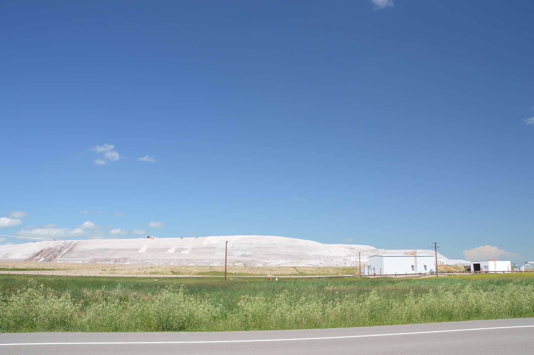
potash; note the road grader on top of the pile
As I recall, our day into Beasejour in 2009 was a long, tough day, probably our flattest. Nothing would change my mind this time around either. A stop at a Stonewall, Manitoba restaurant, La Petit Cafe, mid-day for a BLT and coffee, broke up the day nicely. The detour into Stonewall also got us off, temporarily, the narrow, high-traffic roads (many trucks), which we travelled during the day. We passed through Lockport, known for the big damn on the Red River and “Duff’s Ditch”, constructed at huge expense as a means of flood control for Winnipeg. The 158k day got us to camp late at 6:20 pm. Some of our kitchen duties were generously started by those who had arrived earlier. Great teamwork!
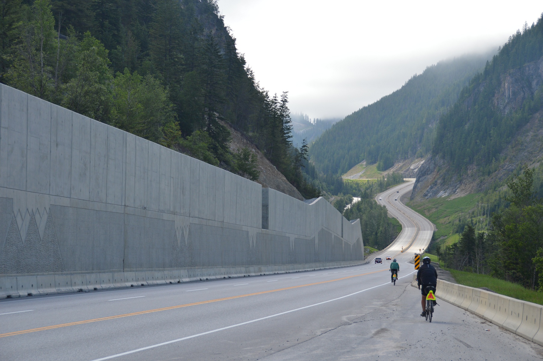
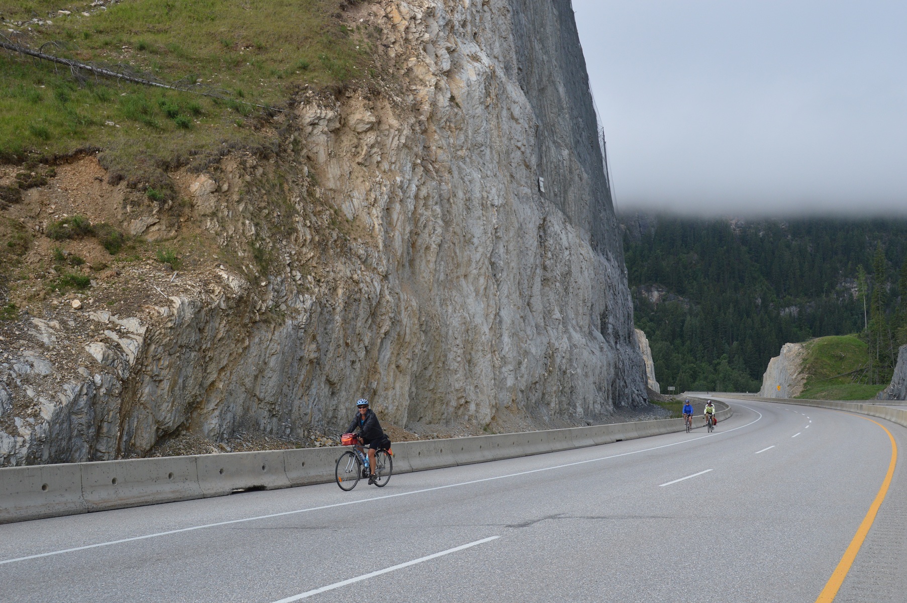
soon to be scenery of the past as we ride east
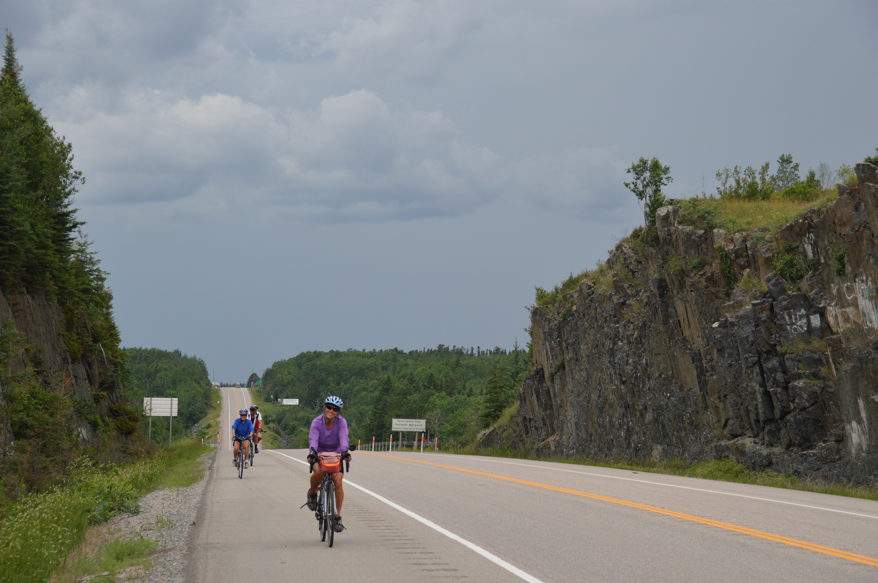
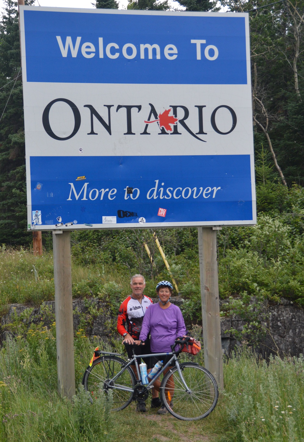
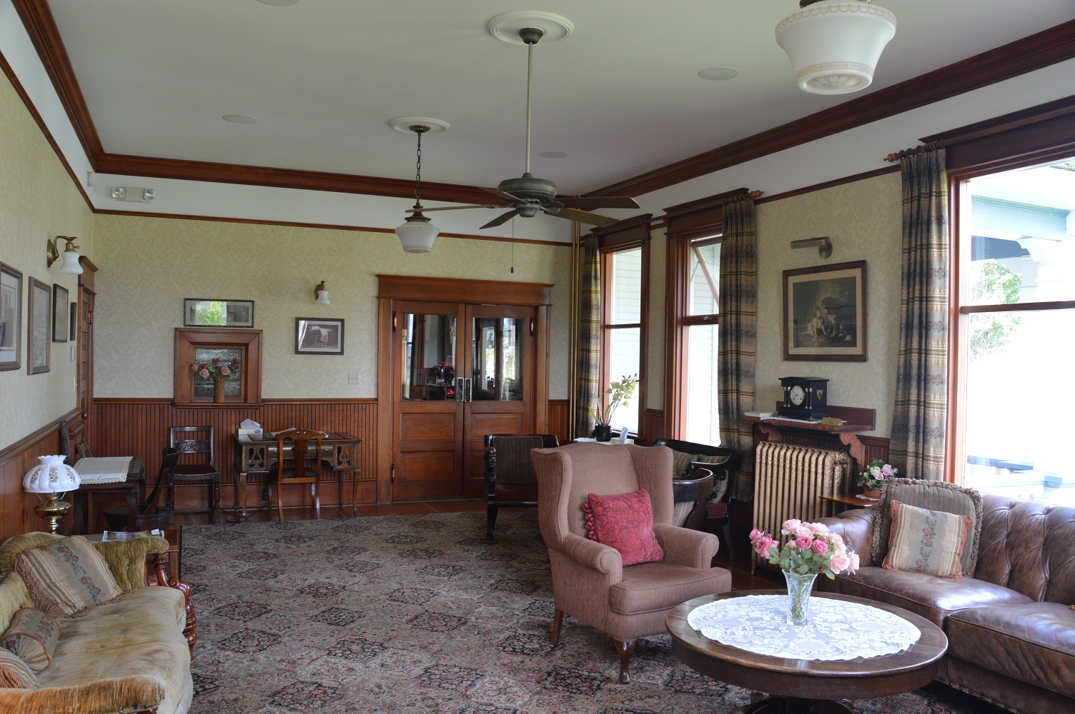
Tuesday, 16 July would mark our entry into Ontario. The day started questionablely. A heavy thundershower with high winds about four prematurely awakened us. Much was wet. Not us! Reluctantly, we arose by 5:35 am. Kitchen duties performed, we headed for Whitemouth, our anticipated first stop, only to be disappointed. The elderly owner had closed the bakery last fall, permanently. Distraught, we trudged on. The Cambrian Shield terrain was noticeably replacing the somewhat boring, prairie landscape. Rennie, Manitoba was a timely pause where we enjoyed a meal of soup, apple pie, and coffee with Bob and Irene to fuel us to West Hawk Lake and an ice cream cone. At 4:00 pm., a group of us crossed into Ontario, Canada’s largest province, where we’d spend twenty-four of our seventy-one tour days. Of course, photographs were in order. Rain greeted our entry, a sign of weather to come during our passage through my home province. It wasn’t until 7:00 pm. that Joyce and I booked into the Comfort Inn for our rest day, where we enjoyed a couple nights of good, dry sleep and complimentary breakfasts.
damp weather about to greet us into Ontrario; Joyce in foreground
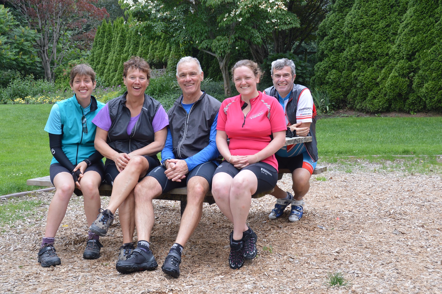
Dan & Joyce
Segment 5 – Regina to Kenora, Ontario
| Location / Date | Time camp to camp | Time on bike | Max. speed | Avg. speed | Distance | Trip to date |
| Crooked Lake, Sk / Thursday, 11July | 11:30 | 8:33 | 55.4 | 19.6 | 167.6 | 2056.0 |
| Binscarth, Sk /Friday, 12 July | 8:11 | 5:29 | 53.8 | 23.3 | 127.9 | 2183.9 |
| Minnedosa, Sk. / Saturday, 13July | 9:20 | 7:17 | 52.2 | 18.5 | 134.4 | 2318.3 |
| Portage La Prairie, Sk / Sunday, 14July | 8:54 | 6:12 | 33.2 | 21.9 | 135.7 | 2454.0 |
| Beausejour, Sk / Monday, 15July | 10:50 | 8:05 | 29.0 | 19.6 | 158.6 | 2612.6 |
| Kenora, Ontario / Tuesday, 16July | 10:38 | 7:57 | 53.0 | 22.6 | 179.7 | 2792.3 |


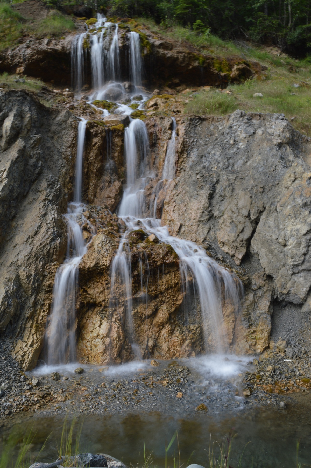


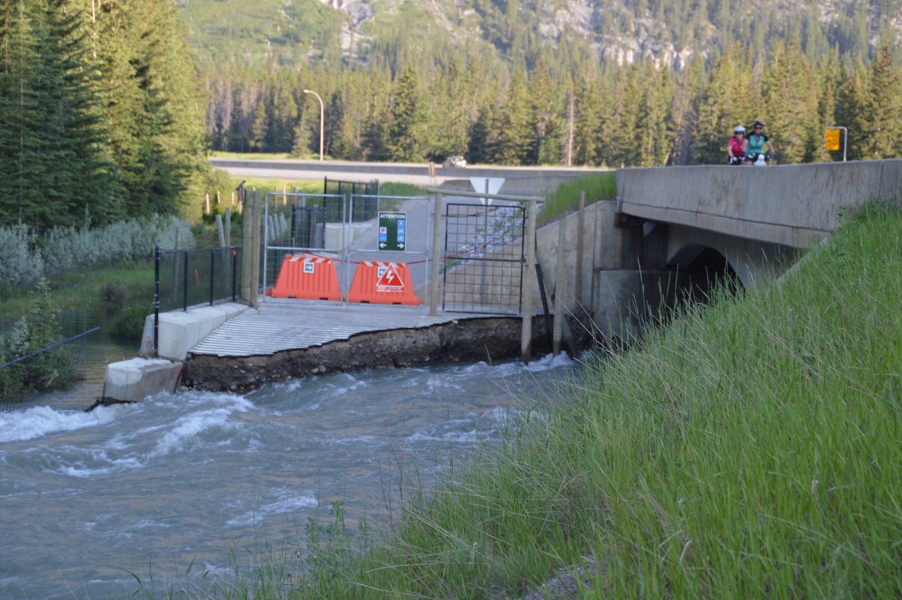
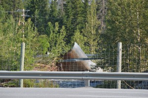 pictured above: recreational trail washed away; culvert carried away by torrent

